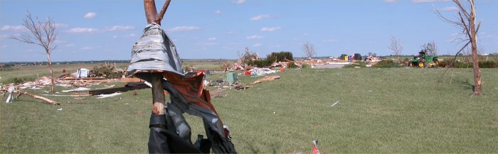
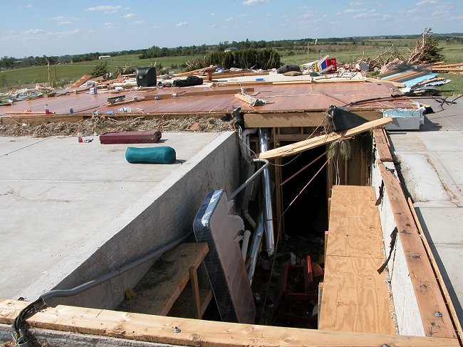
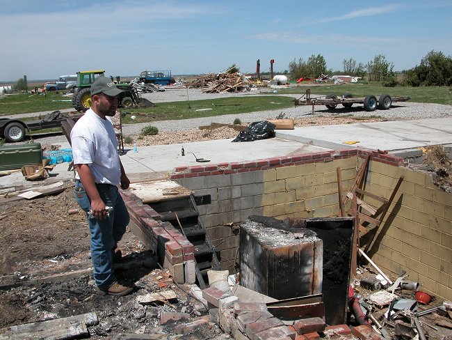
I know that the 2014 Smithfield, NY tornado was already mentioned as a likely underrated event, but I wanted to share this photo of the most intense point of damage. A three story farmhouse on a hill was swept clean from its basement foundation, and debris from the home was thrown into another house downwind, destroying about half of it. It was rated an 135 MPH EF2, apparently based on the assumption that due to the fact the house was on a hill, gravity played more of a role in the destruction of the house than actual wind. I don't really buy it though. I can't think of any scenario where a three story home being totally swept away and obliterated should be rated below EF3.
It's worth noting that no tornado warning was issued prior to this strong and deadly tornado. In addition, NWS Binghamton made a statement on social media right after the event, emphasizing that the tornado "was NOT an EF3". Seems a little defensive, and may have something to do with the missed tornado warning, but that's speculation on my part.