While 5/9/2016 is known for the Sulphur EF3 and Katie EF4, a LOT forget that it also produced a even wider tornado than Sulphur which lay in the Boswell, OK EF3. While this tornado stayed across mostly rural vicinity, it tore thru Bryan and Choctaw County in S OK causing tree damage up to EF2 damage as it grew to a mile wide. Continuing its progress east, the tornado SW of Boswell, OK maxed out in width at a wild 1.8 miles wide.
View attachment 54026
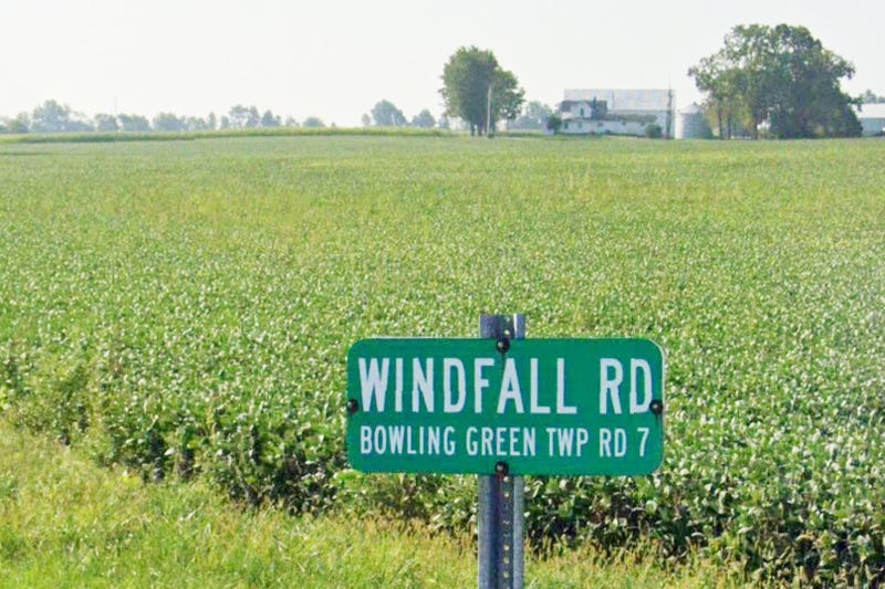
The tornado destroyed homes along 2080 Road near the town of Boswell, and this is the only photo I found with regards to damage on that road:
View attachment 54027
The tornado also topped two high tension, transmission towers at high end EF3 intensity but i couldn't find images of this damage. Despite its width, it is still not the widest at all in Oklahoma history which is mind boggling to even think of, and we all know which one that belongs to.. In my opinion, 5/9/16 is a outbreak that gets shoved over but it was really the last classic daytime significant tornado outbreak Oklahoma endured. 4/27/24 was the last truly big one of note that I remember. Hope you enjoyed this writeup! I plan to do more