• Welcome to TalkWeather!
    We see you lurking around TalkWeather! Take the extra step and join us today to view attachments, see less ads and maybe even join the discussion.
    CLICK TO JOIN TALKWEATHER

Significant Tornado Events - Global Edition

By chance, did you make this video?


There are some clips of the tornado in here that I haven't seen anywhere else - and idk where the original uploader got the raw footage.

I did not, though I do happen to know where a lot of this media came from.
Once upon a time, before companies became rabidly obsessed with copyright, one could find a feature length documentary about the tornado on youtube, complete with videos, and, If I’m remembering right, a chat with someone, maybe Tim Marshall? Regarding the damage. Not sure on that.

Unfortunately that documentary appears to be lost to time now- and that video may now be the only surviving remnant of some of those clips.

I’ll link videos of the tornado below :


Spooky tornado! To be honest, what is it with the U.S. and being most likely THE tornado hotspot of the world?
 
Did a little digging on Birmingham 1931 (and by that I mean writing a Wikipedia article, go check it out ).

I can confirm that (I)F3 is definitely warranted, moreso than 2005 even. Damage is substantially more severe and widespread.

The core of 1931’s significant (F2+) damage spans from Hall Green, all the way through Bordesley Green (about 4 miles). 2005’s IF2+ damage was sporadic and clustered (due to multiple vortices within a weaker parent circulation).

1931 also was noted by TORRO to have likely been multi-vortex, but had a stronger and more persistent parent circulation, with less discrepancy between the two, leading to more widespread damage.

The paths of the 2 tornadoes are almost parallel, in some locations, both paths are less than a mile apart. If 1931 occurred today, it would likely completely overshadow the 2005 tornado in terms of damages, cost, and human toll.

Unfortunately, images of the damage seem to be few and far between, meaning a definitive track has been hard to map, though with the images we do have, combined with accounts of the tornado and damage, I’ve been able to produce a rough track and intensity map. I’ll share this alongside 2005 when complete- perhaps on the anniversary.IMG_6268.jpegIMG_7436.jpegIMG_6577.jpegIMG_6575.jpegIMG_6576.jpeg
 
Did some random digging on international tornadoes today and made some interesting discoveries:

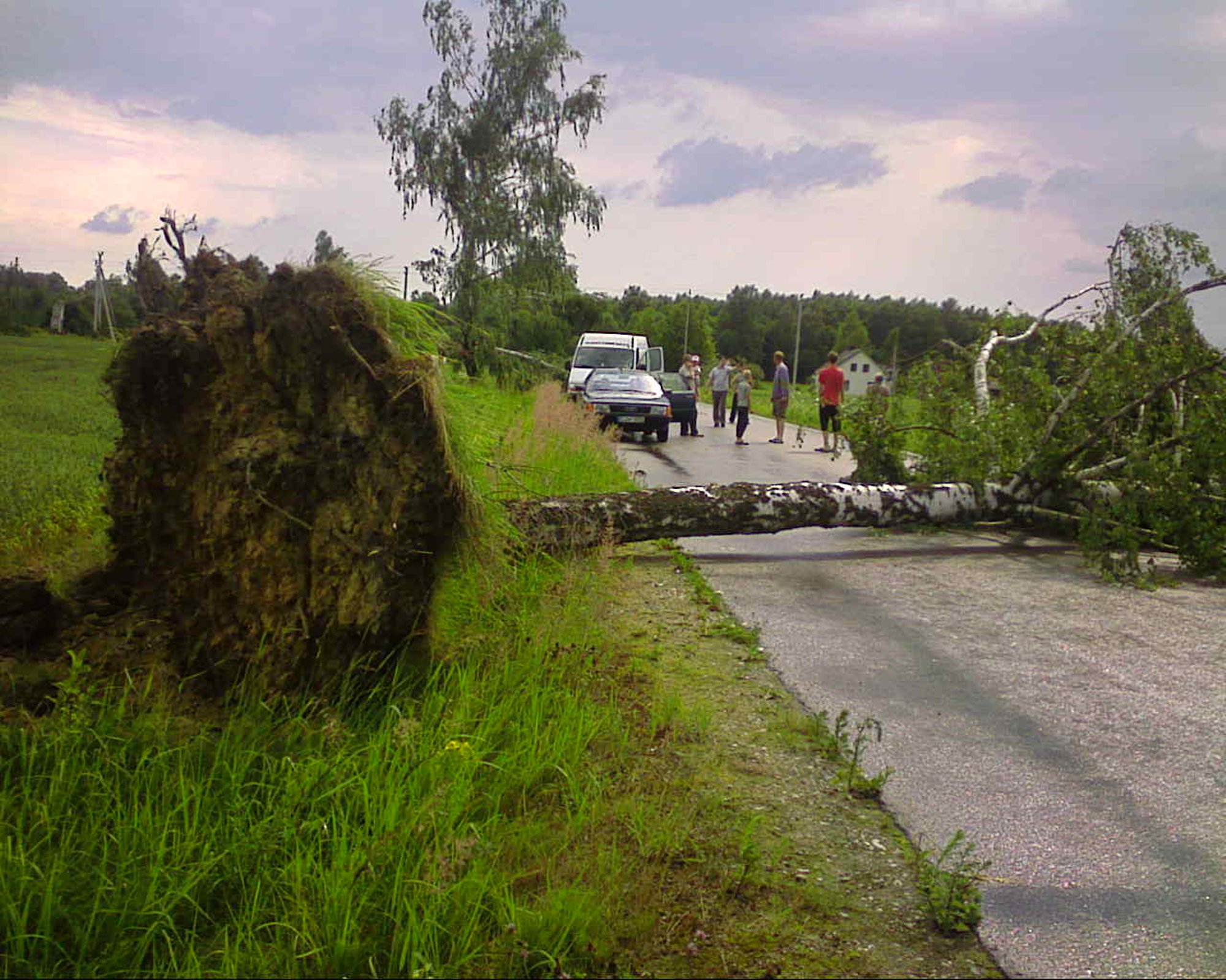
I've briefly touched on this event before, but to refresh: on July 1, 2011 an undocumented tornado touched down in the Šilalė District of Lithuania. The tornado mostly remained in rural areas, but it did impact a cemetery. Looks like it could have been an F1 or arguably a minimal F2 based on tree damage:
ikrauk-reporterio-nuotrauka-505ea5dbf359d.jpg

ikrauk-reporterio-nuotrauka-505ea5dd44761.jpg


Footage of the thing: https://www.delfi.lt/tv/aktualijos/delfitv-ziurovas-nufilmavo-viesula-silales-rajone-ii-62724557

Also found this footage. Same tornado, right?


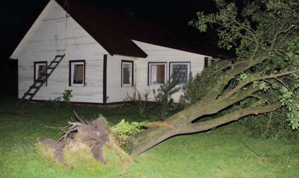
Nope! This is a second undocumented tornado that touched down near the village of Griškabūdis on the same day. This storm uprooted trees, tore some roofing material from homes and damaged outbuildings at probable F0 intensity.
8248c060-6e48-11ed-8bf5-3fa02f366b18.jpg

1309558941img_9905.jpg


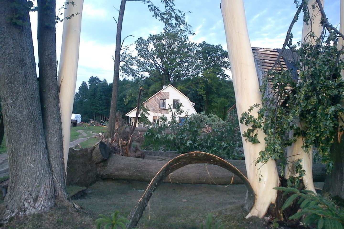
Also found this photo that makes absolutely no sense:
1522345868775_261326_1440x960_1522345869681.jpg


Extensive straight wind damage also occurred in the city of Utena, and a 25 year old woman was killed by lightning. Also, a possible third tornado reportedly formed as a waterspout on Lake Tauragnas and briefly moved ashore where trees were uprooted, but I could not find any further details about that storm apart from an eyewitness account.
 
Apologies to keep asking @pohnpei @zvl5316 I have tried to search for the tornado report for China in 2024, searching things such as "2024 年中国龙卷活动及灾情特征" or "2024年中国龙卷风". Has it been published just not accessible outside of China, or is something preventing it from being published yet? I have also looked at the "Advances in Meteorological Sciences and Technology" website, however Issue 1 for 2025 doesn't include the annual review. http://cmalibrary.cn/amst/2025/
 
Apologies to keep asking @pohnpei @zvl5316 I have tried to search for the tornado report for China in 2024, searching things such as "2024 年中国龙卷活动及灾情特征" or "2024年中国龙卷风". Has it been published just not accessible outside of China, or is something preventing it from being published yet? I have also looked at the "Advances in Meteorological Sciences and Technology" website, however Issue 1 for 2025 doesn't include the annual review. http://cmalibrary.cn/amst/2025/
The annual report of tornadoes in China in 2024 has not been released yet and we don't know what causes the delay. However here are two publishes about the tornado outbreak in Shandong Province on July 5 which was the most significant event in 2024:
 
A thunderstorm outbreak is possible across Northern England today, with ESTOFEX issuing a mesoscale discussion. Large hail up to 5cm in diameter and strong wind gusts are very possible, along with a tornado risk with a chance of a strong, long-tracked event.

The ESTOFEX discussion says that "Initiating and rapidly organizing cells (into multicells and a few supercells) pose a (large) hail threat with isolated hail diamater in the 3 to locally 5 cm range not ruled out. Any near surface based cell would also pose a strong to severe gust and tornado risk. Maturing mid-level mesos might overcome lingering weak CIN for effective near surface based inflow. LCLs remain in the 600-800 m AGL in the western part of the MD with more than 1 km AGL to the E/S. Magnitude of CAPE/shear space also supports a strong and long-tracked tornado event, which includes towns like Manchester, Liverpool, Leeds and further N to Sunderland."
1750518193885.png
 
On This Day, 180 years ago, a deadly F5 tornado struck Montville, France, killing 75 people and becoming only one of two F.O.G.s to ever strike the country, as well as becoming the deadliest tornado in the country.

1755665009329.png
This is an artist's depiction of the Montville F5, which had an average width of only 300 m, or 328 yds (Elie-sized!)

But that didn't stop it from doing this...


1755665800958.png
 
I've put together a collection of visible tornado tracks that I (or other people) have found in Australia. I'll immediately start by saying that this is not a very large collection. Also that the inexactness of the BoM records makes NWS ones seem positively pin-point.

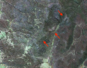
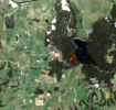
22 November 1992, Smithton, Tas: This one, which was rated F3 (though with no photo of said damage) crossed a forest for a small part of its path, with very intense damage. According to the BoM report about 2000 trees were blown down, some up to 50 metres tall. Although part of the area was clear felled not long afterwards, some was still visible on Landsat in January 1993:
snapshot smithton 1992.png

29 November 1992, Oakhurst, Qld. This tornado tracked mainly through pine plantations, leaving a scar about 250 m wide. I make out the damage for about 11.5 km, longer than the offical 8 km path length. This tornado was officially rated F3:

snapshot oakhurst.png

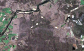
Bucca Queensland: This tornado apparently left a path across native forest that is quite faint by the late April 1993 satellite image. It was officially rated F4, though I've never seen damage photos to prove that, and was photographed:
snapshot (1) bucca copy.png

One thing about these tornadoes is that neither path is anywhere near the ones plotted in this report about them.

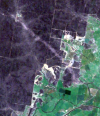
29 September 1996, Elong Elong, NSW: Mainly in native forest, I can make out damage for 10.9 km, mainly about 200 m wide, increasing to 600 at one point, rated F2 in the BoM archive:
snapshot2 copy.png

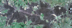
Binnaway, NSW: Usually reported as Bundella, though not that close to either locality. The official path is 26 km long and 200 m wide, rated F0 (or more probably, no rating). However, it is considerably more impressive on the satellite. I can make out possible tree damage for 46.2 km and the maximum width is maybe 1.2 km, if not more:
snapshot (1).png

There was a third tornado reported on this date, but I couldn't find it.

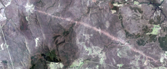
30 September 1996, Wongi State Forest, Qld: despite being 38.5 km long, 800 m wide, and not far from a major town, this tornado was apparently undocumented, with this twitter user being the first to bring it to attention on the internet at least:
snapshot 2.png

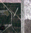
5 September 1997, Gnangra State Forest, WA: about 2.7 km long (BoM only says 1 km) and maybe 150 m wide. SW WA sees probably more tornadoes than elsewhere due to cool season events, but this is the only one I've found on satellite:
snapshot gingin 1997.png

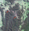
26 March 2002, Northangera, NSW: reported tornado left a patchy path for about 5 km east of Braidwood:
snapshot braidwood copy.png

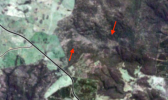
13 October 2002, Ngulin Nature Reserve, NSW: the report refers to the village of Niangala, but a faint probable path appears 3.5 km long appears seventeen km to the east:
snapshot (2) niangala.png

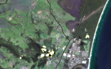
14 February 2013, Seven Mile Beach, NSW:
snapshot 7 mile.png
 
Back
Top