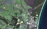
I've put together a collection of visible tornado tracks that I (or other people) have found in Australia. I'll immediately start by saying that this is not a very large collection. Also that the inexactness of the BoM records makes NWS ones seem positively pin-point.
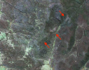
22 November 1992, Smithton, Tas:
This one, which was rated F3 (though with no photo of said damage) crossed a forest for a small part of its path, with very intense damage. According to the BoM report about 2000 trees were blown down, some up to 50 metres tall. Although part of the area was clear felled not long afterwards, some was still visible on Landsat in January 1993:
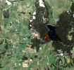
29 November 1992, Oakhurst, Qld. This tornado tracked mainly through pine plantations, leaving a scar about 250 m wide. I make out the damage for about 11.5 km, longer than the offical 8 km path length. This tornado was officially rated F3:

Bucca Queensland: This tornado apparently left a path across native forest that is quite faint by the late April 1993 satellite image. It was officially rated F4, though I've never seen damage photos to prove that, and was photographed:
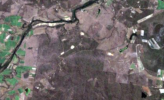
One thing about these tornadoes is that neither path is anywhere near the ones plotted in
this report about them.
29 September 1996, Elong Elong, NSW: Mainly in native forest, I can make out damage for 10.9 km, mainly about 200 m wide, increasing to 600 at one point, rated F2 in the BoM archive:
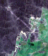
Binnaway, NSW: Usually reported as Bundella, though not that close to either locality. The official path is 26 km long and 200 m wide, rated F0 (or more probably, no rating). However, it is considerably more impressive on the satellite. I can make out possible tree damage for 46.2 km and the maximum width is maybe 1.2 km, if not more:
There was a third tornado reported on this date, but I couldn't find it.
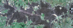
30 September 1996, Wongi State Forest, Qld: despite being 38.5 km long, 800 m wide, and not far from a major town, this tornado was apparently undocumented, with
this twitter user being the first to bring it to attention on the internet at least:
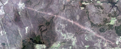
5 September 1997, Gnangra State Forest, WA: about 2.7 km long (BoM only says 1 km) and maybe 150 m wide. SW WA sees probably more tornadoes than elsewhere due to cool season events, but this is the only one I've found on satellite:
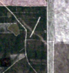
26 March 2002, Northangera, NSW: reported tornado left a patchy path for about 5 km east of Braidwood:
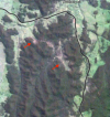
13 October 2002, Ngulin Nature Reserve, NSW: the report refers to the village of Niangala, but a faint probable path appears 3.5 km long appears seventeen km to the east:
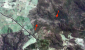
14 February 2013, Seven Mile Beach, NSW:
