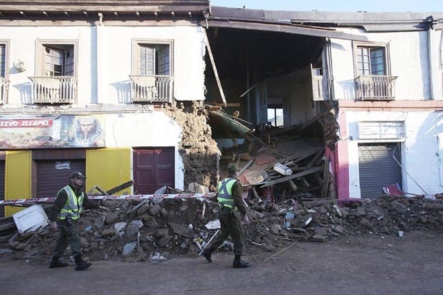
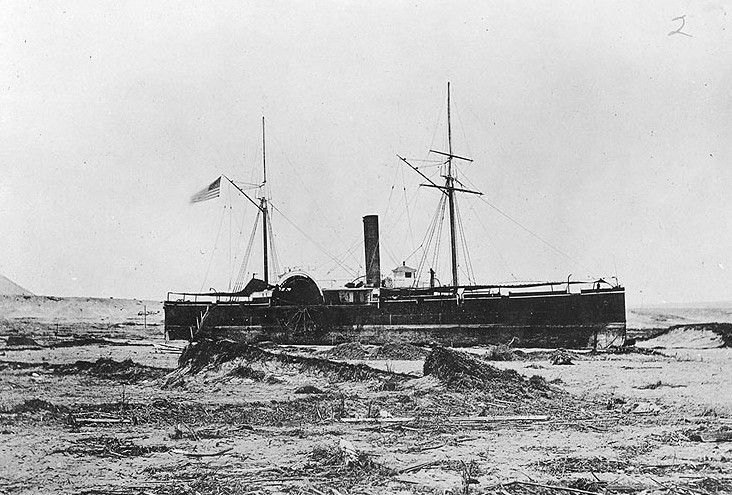
the deadliest tsunami to hit the contiguous United States.
...yet.
In Oregon (and elsewhere, of course), some are learning from these tragedies and '
transmuting fear into preparedness,' as someone says in this 2017 Public Broadcasting video:
But it's a long haul, and so costly.
That video is Portland-centric, as so much media is. Yet that city, while not representative of the state as a whole, is our major outlet to the outside world, so that's natural for such a topic.
But the rest of Oregon is in for it, too. For example, here in the Valley (where "up" means north, not south as in the Shenandoah Valley), the
Resilience Plan (PDF) they mention in the video notes that parts of the region where I live, where the water table is high even though we're 70 miles from the coast, are at high risk for liquefaction. You do see cross-bracing here and other signs of earthquake awareness and action, but I don't know that anyone is prepared for
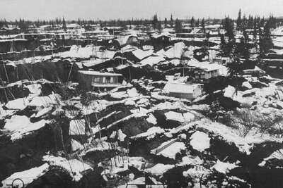
Sulawesi-style liquefaction which this layperson suspects is possible, at least in broad parts of some counties, if not on such a wide scale, given the different topography:
That's not a tsunami traveling inland; it is solid ground turning to thin mud as a seismic wave or waves move inland.
Nowadays
evacuation towers are a proposed fix for coastal communities despite the unfortunate example of vertical evac failure in that video (in Minami, I think).
The one for Newport -- which is also a new Oregon State marine studies building -- is directly west of us, on the other side of the Coast Range (where highways will be blocked by landslides, as they will be in the Cascades on the other side of the Valley; also, infrastructure damage will have shut down I5 and other north-south arteries).
At the time they were building it, I recall reading locally that OSU geologists, including some who are in that video, opposed it, saying the money should be spent to build it outside the tsunami zone. They lost. This whole controversy seems to be memory-holed -- can't easily find mention of it online.
I just hope the tower concept isn't a loss, too, when natural circumstances test it.
It's easy to be all doom'n'gloom when thinking about disasters -- and the Gulf Coast is
vulnerable to tsunamis, too -- so here's a tweet from one of the volcanologists currently studying eruption effects in Tonga after that January 15th blast (S-word alert):