CoreyandFrosty
Member
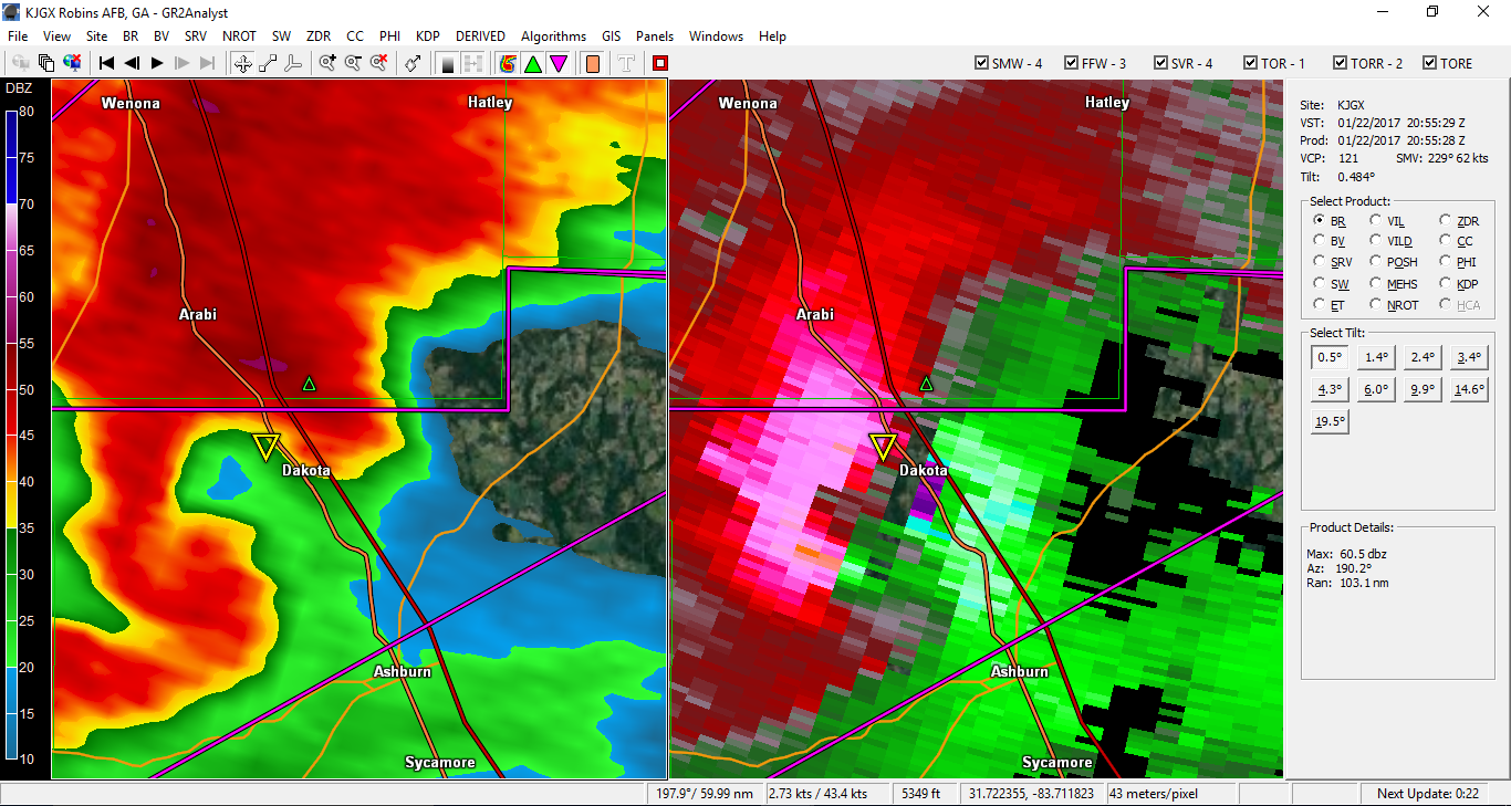
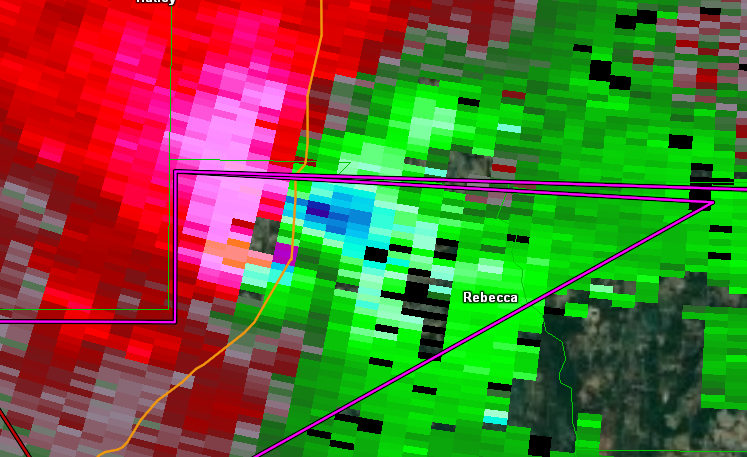
Any chance the "wedge" in the Atlanta area could help enhance storms as they move closer? I know this can sometimes be the case. Obviously I know the cooler air lowers the chance of severe. But what about the boundary interaction?