
I'll probably make my first outlook tomorrow for Wednesday.
Navigation
Install the app
How to install the app on iOS
Follow along with the video below to see how to install our site as a web app on your home screen.
Note: This feature may not be available in some browsers.
More options
-
Welcome to TalkWeather! We see you lurking around TalkWeather! Take the extra step and join us today to view attachments, see less ads and maybe even join the discussion. CLICK TO JOIN TALKWEATHER
You are using an out of date browser. It may not display this or other websites correctly.
You should upgrade or use an alternative browser.
You should upgrade or use an alternative browser.
Severe WX Severe Weather Threat - February 22-23, 2023 (MO, IL, IN)
- Thread starter Lake Martin EF4
- Start date
What's insane is the simulated radar on the GFS shows the huge Bowing of the line
storm mode is cutting it close on this event lol.
storm mode is cutting it close on this event lol.
Yeah, I’d still say storm mode is in the “TBD” category, although I’d still lean towards it being a squall. Like we’ve seen in a couple of past events recently though, small variables the day of can “make or break” storm mode so to speak if it’s already borderline.
Also all ears if Fred thinks it’s enough of a possible threat to chime in with his always excellent input.
Timhsv
Member
storm mode is cutting it close on this event lol.
Just an FYI, I'm an old timer watching and trying my best at forecasting severe weather for over 45 years almost now. That compact 500mb shortwave that is depicted and tilt position on the GFS alone is a.... real bad boy at this point.
Last edited:
ashtonlemleywx
Member
These mid-week severe weather outbreaks are killing me. I honestly need a break for a few weeks.
I honestly don’t know what to expect with this event… everything seems properly wacky and unclear to me regarding just how severe the parameter space will be, Storm mode etc - though one thing that is almost for sure is damaging winds will be a big threat.
I'm leaning more damaging wind too, you'll need a substantial amount of moisture/instability or the shear will just tear these updrafts apart. Maybe if we can get a 2500-3000j I'd support a tornado threat with some renegades. But the speed shear it just going to rip the updrafts apart if they're isn't "meaty" instability to work with lol. Although I have heard a lot of forcing/ lift will help to overcome that deficit a bit if your instability is lacking some.I honestly don’t know what to expect with this event… everything seems properly wacky and unclear to me regarding just how severe the parameter space will be, Storm mode etc - though one thing that is almost for sure is damaging winds will be a big threat.
Lol I wish I could sleep it's 3:22 am currently we're I'm at but I'm dealing with gut issues or a stomach bug whatever it is. So I guess what else could I do but look at the weather and play portal 2 hahah.

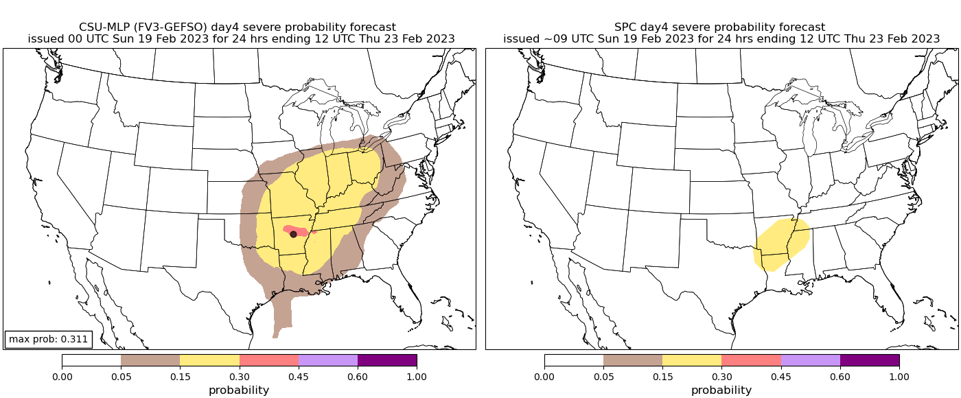
Is there any write up for it? Trying to find the updated post on SPC but I don't see it
*Nvm found the updated discussion but not the maps lol
tennessee storm chaser
Member
- Messages
- 1,877
- Reaction score
- 4,288
- Location
- jackson tennessee
- Special Affiliations
- SKYWARN® Volunteer
See it too. ,wasn’t really long discussion be honest. But sounds like highly a wind damage threatIs there any write up for it? Trying to find the updated post on SPC but I don't see it
*Nvm found the updated discussion but not the maps lol
CheeselandSkies
Member
Yeah, this is a weird system. There's a huge warm/moist sector, somehow despite no real surface low development anywhere near it (main triple point is back in western Colorado where dewpoints are in the 20s [NAM] or teens [GFS]).
As shown on the GFS there's kind of a secondary area where the winds flip around near Kansas City, but it's more of an open surface trough. The "cold front" associated with it appears to be a moisture boundary only, with no real temperature gradient until the cold front with the main surface low back near the TX/NM border, where there's no moisture.
Last edited:
tennessee storm chaser
Member
- Messages
- 1,877
- Reaction score
- 4,288
- Location
- jackson tennessee
- Special Affiliations
- SKYWARN® Volunteer
Like see better lapse rates with this system , lacking a bit
I wanna say this event would be like a derecho, but I don't think it'll meet the criteria and it looks to be too potent for a typical Southeastern QCLS. I'm gunna characterize this event as a high end MCS lol or a bow echo in better terms. I'm still confuddled though because the EURO which did best on predicting more isolated convection ahead of our last event was right around this range. And it's showing a good bit of isolated convection.
*Actually it could classify as a derecho I thought the characteristics were more extreme than this (I googled lol). But I'd say this event needs some more time to forecast that. Especially with the euro holdout.
*Actually it could classify as a derecho I thought the characteristics were more extreme than this (I googled lol). But I'd say this event needs some more time to forecast that. Especially with the euro holdout.
Why's it weird? The trend of the globals are really pushing for a less digging 500mb low as it ejects, continue this trend and a major damaging wind threat seems a little less likely. The euros solution seems to be becoming more true.Absolutely no clue what to expect at this stage lool... 12z GDPS is one of the weirdest model runs for the South East in winter I have ever seen.
Just check the run yourself and look at a few soundings... massive dew point depressions (as much as 30F!), extremely dry air, not really making sense considering we have good gulf moisture and a strong LLJ and completely unusual for Dixie in winter (at least as far as I know). Not taking any note as its far off other models but It's more just funnyWhy's it weird? The trend of the globals are really pushing for a less digging 500mb low as it ejects, continue this trend and a major damaging wind threat seems a little less likely. The euros solution seems to be becoming more true.
tennessee storm chaser
Member
- Messages
- 1,877
- Reaction score
- 4,288
- Location
- jackson tennessee
- Special Affiliations
- SKYWARN® Volunteer
As a big time severe weather lover and chaser . I’m just not feeling this one at the moment … to many uncertain s