• Welcome to TalkWeather!
    We see you lurking around TalkWeather! Take the extra step and join us today to view attachments, see less ads and maybe even join the discussion.
    CLICK TO JOIN TALKWEATHER
  • April 2024 Weather Video of the Month
    Post your nominations now!

Severe WX Severe Weather Threat - February 15-16, 2023

Brice

Member
Messages
353
Reaction score
227
Location
Lynchburg, Virginia
What impresses me is how we are really seeing an uptrend in sig severe events occur more and more in the late fall and winter months, the past 2 years, we had one of the most violent tornadoes ever in 2021, 2022 in November, we had which seemed like a classic southern plains outbreak with multiple strong to violent tornadoes, I know we will expect more of this, but it fascinates me on how things will change
 

UncleJuJu98

Member
100,000th Post
Messages
4,151
Reaction score
5,485
Location
Birmingham
What impresses me is how we are really seeing an uptrend in sig severe events occur more and more in the late fall and winter months, the past 2 years, we had one of the most violent tornadoes ever in 2021, 2022 in November, we had which seemed like a classic southern plains outbreak with multiple strong to violent tornadoes, I know we will expect more of this, but it fascinates me on how things will change
I think it's just a pattern idk if it's el Nina or el neno or whatever those things are, but it's like every 4 years or so we have a year or two of winter/ fall events that are significant. 2011/2012 I know had significant winter events I think there was some in 2017/2018 and then the last two years. Last two major outbreak in winter/ fall was the 2013 Midwest outbreak and the 2021 Kentucky one.
 

UncleJuJu98

Member
100,000th Post
Messages
4,151
Reaction score
5,485
Location
Birmingham
I think I'm gunna go ahead and lock down my prediction. After looking at the 15z rap. I think a possible tornado /severe outbreak in Mississippi Arkansas Louisiana seems possible. Better chances there than Alabama. Seems like it'll be evening / overnight. There's limiting factors that could bust it. But that's my hot take!
 

UncleJuJu98

Member
100,000th Post
Messages
4,151
Reaction score
5,485
Location
Birmingham
what exactly on the 15z rap has you sold? I'm targeting NW MS/Memphis metro tmrw night.
Not just the 15z, it was the 15z rap that gave me that push to do my hot take lol. it's more so the consensus of all the short range models coming into agreement with a relatively higher parameter space along with predicting discreet convection popping up. Seems to be a confluence band or two near west Mississippi from what I saw.

Usually when I see widespread orange and red in the supercells composite in the southeast; without fail usually a relatively good severe event happens (maybe not tornadic). But that's not everything. I just have a hunch once we get into the range of 18 hours out in the HRRR your going to see some incredible parameters, especially if that low pressure over northwest Arkansas comes in even just 2-4 mb deeper (shear) already seen a good bit of instability enhancement .

I'm not always right probably not here, but that's my amateur forecast!
 

JBishopwx

Member
Sustaining Member
Messages
984
Reaction score
2,293
Location
Ackerman, MS
Special Affiliations
  1. SKYWARN® Volunteer
17:30 UTC DAY 2 Update: Some extension eastward for tomorrow/ tomorrow night risk SR_swody2.jpg
SR_swody2_TORN.jpg
THERE IS A SLIGHT RISK OF SEVERE THUNDERSTORMS OVER MUCH OF THE
LOWER MISSISSIPPI VALLEY...AND INTO PARTS NORTHEAST TEXAS AND
SOUTHEAST OKLAHOMA...

...SUMMARY...
Widely scattered severe thunderstorms are possible over parts of
Texas and Oklahoma beginning late in the day and into the evening on
Wednesday. A severe threat will also develop overnight over the
lower Mississippi Valley, with tornado risk.

...Synopsis...
An upper trough will become positively tilted as it moves east from
the Four Corners to the Plains through Thursday morning, with an
elongated speed max extending from the base of the trough from the
southern Plains across the lower MO Valley and toward Lake Michigan
late. Ahead of the trough, an upper high will remain over the
Bahamas, with rising heights through 00Z across much of the
Southeast.

At the surface, low pressure will translate east from NM into OK
through 00Z, ahead of a cold front which will surge south into the
OK/TX Panhandles. This low is not forecast to deepen, but will
continue northeastward ahead of the cold front to the Ozarks by 06Z
and lower OH Valley by 12Z Thursday.

Southerly surface winds will aid low-level moisture return during
the day, with mid 60s F dewpoints common by 00Z over eastern TX and
the lower MS Valley. Low 60s F dewpoints are eventually expected to
reach the lower OH River/western KY by 12z Thursday, with the more
substantial moisture from about Memphis south. Strengthening 850 mb
winds over 40 kt will aid moisture transport, with modest
instability and strong shear aiding severe potential from TX to the
lower MS Valley, primarily after 00Z.

...Northeast TX...southeast OK into western AR...
Heating will occur over OK and TX ahead of the cold front and south
of the low, steepening lapse rates. Eventually, persistent southerly
winds will bring low 60s F dewpoints to the Red River, most likely
near or after 00Z. Modestly cool midlevel temperatures and
convergence along the front may then be enough to break the cap,
resulting in a few severe storms. Supercell wind profiles will
exist, favoring large hail. Should the boundary layer moisten
sufficiently, a tornado risk could develop. Much of this area
appears conditional given mixed CAM signals, late moisture return,
relatively late time of day (evening) and potential for capping. In
addition, various forecast soundings indicate subsidence in the
midlevels. However, stronger heating near the boundary coupled with
late moisture return should result in at least isolated storms with
hail.

...LA...MS...eastern AR...western TN...
Rapid moistening of the boundary layer during the day is expected to
lead to clouds and keep temperatures relatively cool. This should
minimize the potential for convection through 00Z as a capping
inversion will exist at or below 700 mb. Rain and thunderstorms are
likely to develop after 03Z over much of AR, northern MS, and
western TN, as dewpoints rise into the mid 60s F beneath a 50 kt
low-level jet core. After about 06Z, a plume of > 1000 J/kg SBCAPE
is forecast to extend from LA into eastern AR, gradually shifting
into northwest MS and perhaps western TN. As such, it is possible
that initially elevated convection transitions to surface based,
which would increase the risk of isolated tornadoes. Better lift
along the cold front could become a more favorable focus for
supercells with tornado threat into Thursday morning. In general,
the lack of a substantial baroclinic zone may mitigate the overall
severe risk for much of the period, given cool boundary-layer
temperatures. However, effective SRH near 300 m2/s2 will
conditionally favor tornadoes with any established supercells that
develop late near the MS River.
 
Messages
300
Reaction score
866
Location
Oxford, Mississippi
I just finished a 1000 line Powershell script and then had to setup SAML/SSO authentication with Azure for my company's Palo Alto firewalls.

Now I'm prepping to migrate the Exchange(email) servers from a company we just acquired to our Exchange environment.

I haven't ate anything or drank any coffee yet so I feel brain-dead at the moment haha.
 

The Nino

Member
Messages
171
Reaction score
242
Location
JV Hsv
I just finished a 1000 line Powershell script and then had to setup SAML/SSO authentication with Azure for my company's Palo Alto firewalls.

Now I'm prepping to migrate the Exchange(email) servers from a company we just acquired to our Exchange environment.

I haven't ate anything or drank any coffee yet so I feel brain-dead at the moment haha.

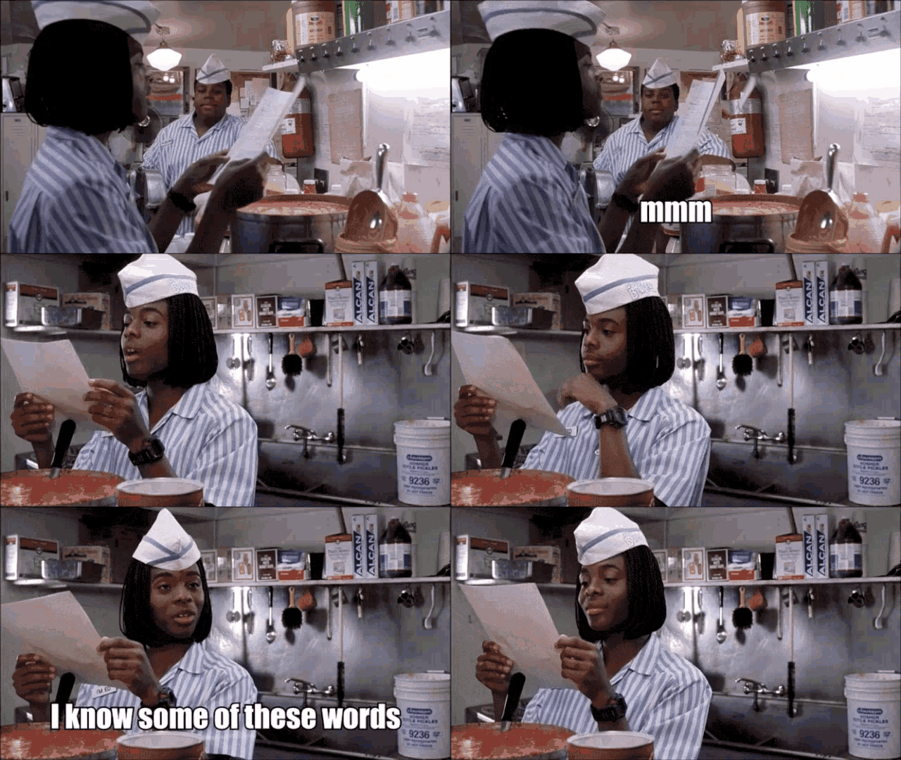
good-burger.gif
 

UncleJuJu98

Member
100,000th Post
Messages
4,151
Reaction score
5,485
Location
Birmingham

UncleJuJu98

Member
100,000th Post
Messages
4,151
Reaction score
5,485
Location
Birmingham
It stops at 18z but this has my attention. Will have to wait on 00z run.

If this trend continues we may have an outbreak on our hands Thursday.
I think that'll be the case anyhow for Mississippi atleast, unfortunately it looks like when the sun is down and hard to see them. A lot may depend on how substantial the dry layer is and how much little mesoscale features we can get to produce enough lift. Storms may stay mainly elevated for awhile.
 
Logo 468x120
Back
Top