Time to write a discussion.
TODAY
So, initially, i wasn't really interested in today but today will hold opportunities for isolated tornadoes and one target catches my eye a lot.
Saskatchewan/W Manitoba
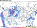
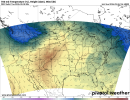
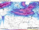
A supercell or two may be able to develop amidst a incomplete airmass that fails to fully destabilise today as the result of the ongoing severe-warmed complex in the area. 500 mb flow is rather meager in nature over the area but it's enough. 700 mb temps up there should be cool enough for storms to not have any issue. Low level shear will not be particularly strong but neither will instability. A brief tornado or two isn't ruled out. What's the target i mentioned? Take a look at that subtle impulse feeding into W Central Montana. That's your answer.
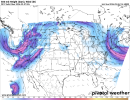
Supercells should fire off this regime and while moisture is slightly meager, it's worth noting that this area is higher in terrain so a dew point of 56F would actually likely be 60+F in nature. I don't expect a multitude of supercells but rather one singular cluster that manages to survive amidst increasing low level stability. A strong LLJ will coincide with this cluster if it manages to tap in the higher moisture and so you get this.
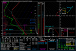
Strong low level shear, humps in the lowest 1km tell me any tornado would be cyclic and deviant at times if a supercell manages to become tornadic. It's not a high guarantee but i never ignore these High Plains setups.
TOMORROW
I've had some concerns over tomorrow's setups but it will work out. Just not in the areas we originally discussed. But it isn't far off E ND, and it's the ND/Canada border.
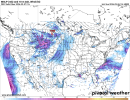
A low pressure sets up in W ND, and within this feature with strong height falls and the 500 mb jet hitting this area, supercells wrap around the low. Profiles are very classic for supercells to use low level vorticity and low level shear to spam brief spinup tornadoes, at times, even photogenic.
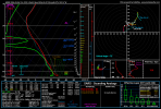
Curved, small low level hodographs combined with this type of vorticity usually does it and these supercells are in that right quadrant close to the low.
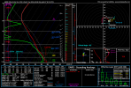
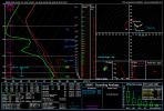
These supercells continue to interact as this low level jet strengthens where hodographs rapidly increase, and, a heightened tornado threat continues at 00z. This sounding is from NE SD.
Wednesday, despite the trough has downtrended and is no longer a svr weather threat to actually watch. That is all. This trough could deliver picturesque supercells, and the occasional sporadic tornadoes here. Don't sleep on it.