Argus
Member
We made it rthrough the line. Passed two wrecks on 316 in the Winder area.
Follow along with the video below to see how to install our site as a web app on your home screen.
Note: This feature may not be available in some browsers.
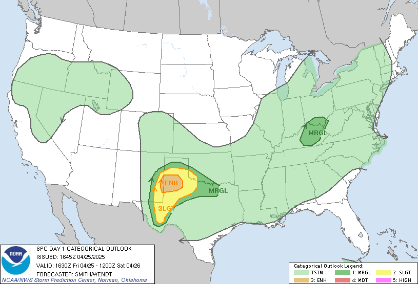
Where on SPC’s site does one find this product?The high was perhaps misplaced in retrospect but at least the east side performed quite well
View attachment 7158
It's part of the archives, put the requested date in the search for past outlooks and it's one of the products available for a given dateWhere on SPC’s site does one find this product?
Thanks!It's part of the archives, put the requested date in the search for past outlooks and it's one of the products available for a given date

As someone in the high risk portion of MS, I’m grateful for it! It rained here most of the day, it was cool but humid, we were in the upper 60s at the warmest part of the day when they had projected us to be in the low 80s. My science mind is curious why, but my mama heart is thankful I didn’t have to take cover with my babies last night! We had a line of strong winds comes through, but otherwise, it was just normal thunderstorms.That's true to an extent, but zero tornado reports in the Mississippi portion of the high risk is a forecast Forecasted Convective Amplification Deficiency by any standards. Not saying the event as a whole was a Forecasted Convective Amplification Deficiency since we'll likely have 30+ tornadoes and several significant ones, but that specific part of the forecast area objectively didn't verify.
What happened to that EML that was supposed to be advected in?Yesterday here was an absolute washout, 4"+ storm total with several hours straight of torrential rain that flooded the basement and made several local roads impassible via flash flooding. Never got above 66° and saw the sun for about ten minutes. If the warm sector had been a little more capped and the heavy sloppy rain not happened, it'd have been historic. No complaints here
We had a ton of ascent over the warm sector with a very deep trough practically moving due east instead of the usual glancing by as it’s lifting NE.What happened to that EML that was supposed to be advected in?
