- Thread starter
- #721
warneagle
Member
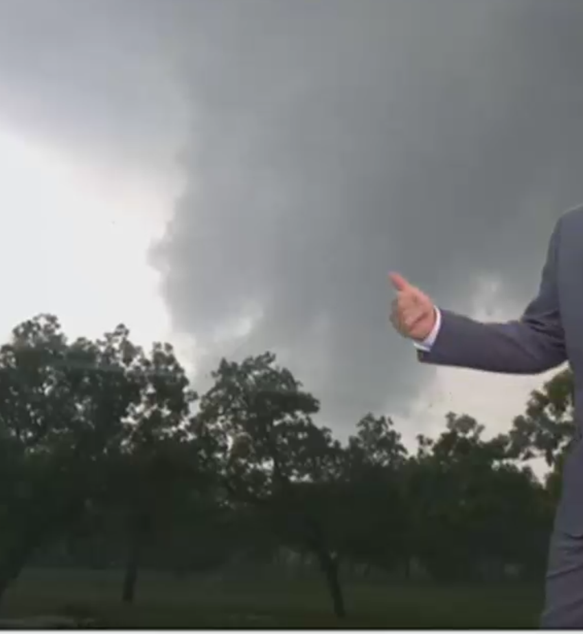
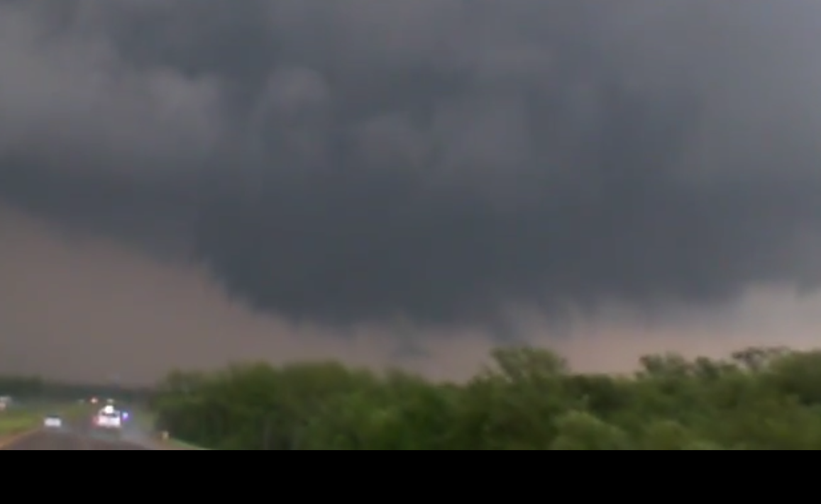
Also a major flooding disaster still ongoing in the area. Flash flood warning was just issued for the TOR warned storm passing north of Mulhall.
Follow along with the video below to see how to install our site as a web app on your home screen.
Note: This feature may not be available in some browsers.
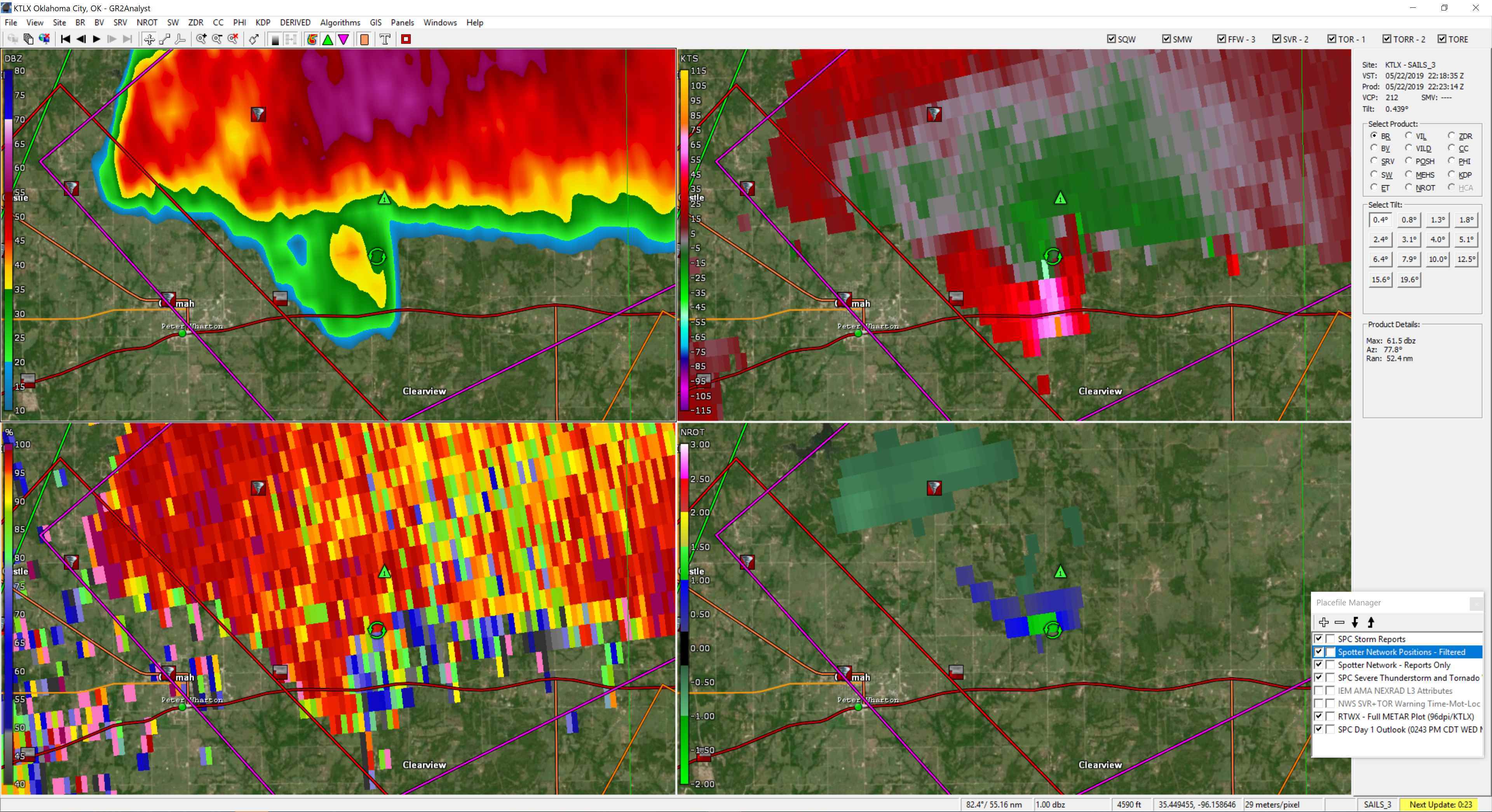
I think the cell near Chickasha is the remnant of the earlier storm by Lawton that died down? I'm intrigued to see if any storms besides the ones we have now will survive. Talk about isolated supercells.