• Welcome to TalkWeather!
    We see you lurking around TalkWeather! Take the extra step and join us today to view attachments, see less ads and maybe even join the discussion.
    CLICK TO JOIN TALKWEATHER

Hurricane Isaias

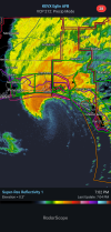
Andalusia-Enterprise-Dothan probably getting smacked pretty hard right about now. Troy and Montgomery not too far off from getting into the stronger parts of the TS-force wind field, either.
 
This is getting underway but quick note, next time, can we just combine the svr into the main hurricane thread? I feel like there's no point differentiating both when surge/wind and tornadoes are just different forms of impact that can all be put into one main thread to discuss both at the same time instead of switching threads. Thanks!
 
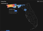
A lot of cams seem to be down in the Pensacola area, no doubt from power outages. Outages have mounted rapidly, with over half of Escambia County out of power.
1791593292964.png
 
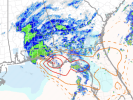
It looks like the tornado threat is finally starting in earnest in the Tornado Watch area. Or at least the *potential*, we'll see if it materializes.

1791593340470.png
Is Central AL really looking at much of a wind threat now? Seems like it's really falling apart.
Nothing really changes to be honest. It's still going to pack a potent punch.
 
Once the winds are perpendicular to the coast, the water is going to come up some more. How much is the question. Destin, PCB area, looks like that area - this definitely went well east. I'm wondering if that pulls everything east in the future track, or if the track up through Alabama is in question in general? Tentatively optimistic.
 
Last edited:
Hurricane-force wind gusts (N=76 MPH) in Dothan, per Spann.
 
Once the winds are perpendicular to the coast, the water is going to come up some more. How much is the question. Destin, PCB - definitely went well east. Wondering if that pulls everything east in the future track, or if the track up through Alabama is in question in general? Tentatively optimistic.
Yeah i'm wondering the same. Radar trends at least down south, continue to show a slightly eastward component. Still gotta wonder about those gradient winds associated with the front to west, but I honestly expected winds to be a bit stronger up this way already - gradient winds that is....
 
image-1.png

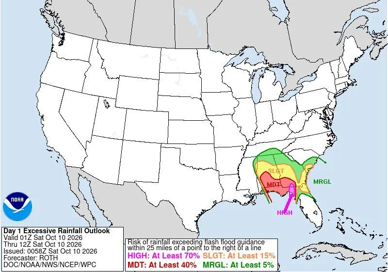
Wpc has marginal slight moderate and high risk for the deep south east corner for excessive rainfall flooding
 
Back
Top