brianc33710
Member
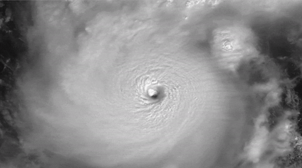
That looks like Cullman 27 Apr 11.
Follow along with the video below to see how to install our site as a web app on your home screen.
Note: This feature may not be available in some browsers.
Fingers very much crossed. The outages are horrendous though, approaching 3.5 million customers.Perhaps promising, I haven't heard of any truly devastating damage apart from the tornado damage from yesterday. Maybe that trend continues.

No surge did surge things and destroyed most of what it touched in places like manasota key. Doesn’t look like a complete wipe out but its still very bad destruction.^Florida really got lucky with the last-minute deterioration of Milton. It was bad, and affected a lot of people, but not catastrophic.
Helene will likely go down as (by far) the most impactful hurricane of 2024.
Overall he basically stayed with the forecast as he made landfall. so kudos to NHC for that. The strong, potentially violent, tornado damage from SE Florida may end up being the most intense structural damage from the event overall, not-so-eagerly waiting to see more comprehensive damage analysis from those storms.Honestly, in retrospective analyses I think Milton will mostly be remembered for its rapid intensification in the Gulf and the tornado outbreak it spawned. Obviously the straight line wind, surge and flash flood damage has been terrible for a lot of folks, no doubt. Thankfully though, those impacts were not as widespread and catastrophic as they could have been, especially if Milton had made landfall at a higher intensity. On the other hand, seeing a tropical cyclone just EXPLODE into a category 5 storm and subsequently spawn a lengthy and Plains-esque classic supercell tornado outbreak are quite the anomalies.
I think the eastward turn played a part in limiting the surge as much as possible (although I'm pretty sure >10ft was still recorded in some places). I think when this event is looked back upon, the tornadoes might be talked about more than the actual hurricane. Still plenty of flooding in the Tampa Bay area, but this was almost best case scenario for a record breaking hurricane.No matter what damage is learned about today, we got lucky. Straight up. The perfect east turn to make a South of Tampa landfall, the hybrid tropical/extratropical transition, a weakening storm on approach so not as good at translating winds to the surface, landfall before high tide. Environmentally, there were a lot of things that went goldilocks for us humans this time, because as strong as Milton was near the Yucatan, I thought we were in a lot bigger trouble. The tornadoes were certainly an unexpected curve ball - I expect Milton will help us understand new dynamics of air that dry interacting with a tropical system. The sting jet was neat, as was being able to see the decoupling on radar too. Lots to weather nerd about.
To be fair, we were all worried about complacency given that Tampa hasn't had too many majors in its history. How to balance threat comms remains a confound that I'm not sure we will ever truly figure out, and at a certain point people have to take some personal responsibility when it comes to actually paying attention. I do think continuing to remind people that forecasts are flexible remains important, because there's still way too many folks I know who think a forecast is going to be perfect and set in stone.I think the eastward turn played a part in limiting the surge as much as possible (although I'm pretty sure >10ft was still recorded in some places). I think when this event is looked back upon, the tornadoes might be talked about more than the actual hurricane. Still plenty of flooding in the Tampa Bay area, but this was almost best case scenario for a record breaking hurricane.
From a public communication standpoint, I'm afraid the underperformance of this event relative to the dire messaging sent to Tampa Bay residents might cause a sort of indifferent approach residents may have to the next hurricane to impact this area.
The public communication aspect is really important to me. I am getting a communications minor on my way to completion of my meteorology degree. I completely understand and agree that with the public you are "damned if you do, damned if you don't," but I'd love to figure out a better way to streamline real time tracking updates to the general public. I'm just unsure of a better way to do it currently.To be fair, we were all worried about complacency given that Tampa hasn't had too many majors in its history. How to balance threat comms remains a confound that I'm not sure we will ever truly figure out, and at a certain point people have to take some personal responsibility when it comes to actually paying attention. I do think continuing to remind people that forecasts are flexible remains important, because there's still way too many folks I know who think a forecast is going to be perfect and set in stone.