Kds86z
Member
SPC was pretty bullish. Anxious to see day 1Hrr looks very messy tomorrow, if it verifies, would just me rain wrapped bs to put it nicely. The exception is the cells northern Mississippi
Follow along with the video below to see how to install our site as a web app on your home screen.
Note: This feature may not be available in some browsers.
SPC was pretty bullish. Anxious to see day 1Hrr looks very messy tomorrow, if it verifies, would just me rain wrapped bs to put it nicely. The exception is the cells northern Mississippi
Somewhat on topic, but this quote from DDC (for those who don't remember or don't know, yes it's real) is some of the most unprofessional behavior I have ever seen from a WFO. What an absolutely pathetic attempt to downplay and cover their a** after failing to issue a warning for a strong tornado.

If only North Platte could do the same thing for Whitman.Somewhat on topic, but this quote from DDC (for those who don't remember or don't know, yes it's real) is some of the most unprofessional behavior I have ever seen from a WFO. What an absolutely pathetic attempt to downplay and cover their a** after failing to issue a warning for a strong tornado.
On the bright side, at least they handled the damage survey fairly well...
NWS offices are hit and miss about answering emails - some are great, others simply never get back to you.If only North Platte could do the same thing for Whitman.
And yes, I am still livid over that, and I know they want us to forget about it because they will completely ignore you every chance they get. I emailed them multiple times, including on different emails, and they never responded except for one email where I asked them something completely unrelated.

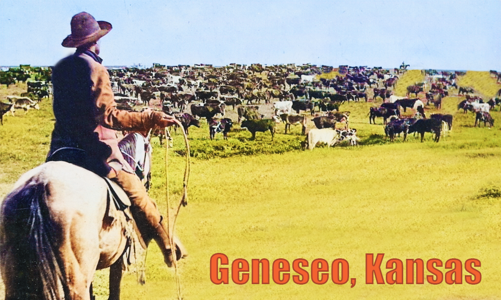
Did not know this was a thing. This is true art. Step aside Picasso.I just noticed that Geneseo, KS is under a TOR - the town with the best worst flag ever:
i’m always here too.I feel like some people said peace out haha since Oklahoma threat died for now. All good! I’m here all night.
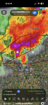
I mean I wouldn’t swear to it but there might be a tornado on the ground or about to be, north of Lyons.everyone goes to bed. things pop off. classic tw.