• Welcome to TalkWeather!
    We see you lurking around TalkWeather! Take the extra step and join us today to view attachments, see less ads and maybe even join the discussion.
    CLICK TO JOIN TALKWEATHER

Severe WX Severe Weather Threat 4/26-5/1/17

It does look like it,


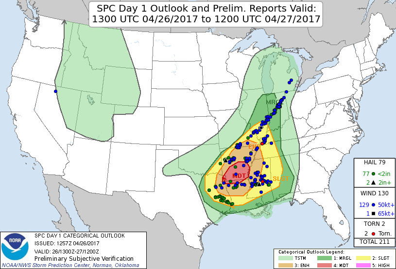
Per SPC (Marginal, Slight, Enhanced, Moderate, High)

Friday - Day 2 Outlook

NW Tennessee - Enhanced Risk
SW/Central Tennessee - Slight Risk
East Tennessee - Marginal Risk

Saturday - Day 3 Outlook

W Tennessee - Slight Risk
Central Tennessee - Marginal Risk

Sunday - Day 4 Outlook

W Tennessee - 15% risk of severe weather within 25 miles

Here is the SPC link in case anything changes - http://www.spc.noaa.gov/products/outlook/day1otlk.html

Per Forbes (1-10 scale)

Friday 2/3 for West Tennessee
Saturday - Shows nothing for Tennessee
Sunday - 2/3 for West/Central Tennessee

Forbes Facebook - https://www.facebook.com/twcdrforbes/

Now neither SPC or Forbes has been on the money to say the least lately, so if there is even a marginal chance, always good to keep up on current weather conditions.
I knew all of this. Was just curious if any of the severe guys could elaborate more based on latest data. Barely anything here in southeast tennessee i presume.

Sent from my LGLS775 using TalkWeather mobile app
 
Less then impressed with the 00Z GFS run for Sunday... nothing sticks out with this as an issue... Storms yes... severe looks unlikely
 
While we're still on the "Wtf, SPC" train, have some 1300z outlook verification for Wednesday
day1otlk_v_20170426_1300.gif

Also zero tornado reports. This was a 15% hatched TOR day. I know this is far from an exact science and they do the best they can, and 185 severe reports is a very respectable severe weather day overall, but still, more actual severe happened in the Marginal and even Gen Tstm (IN/MI) than in the Moderate. To be fair, on the previous outlook they had the MDT over more of north LA and at least caught some of that, but they shifted it north into the messily linear and mostly non-severe showers and storms over central AR in this outlook. Lots of heavy rain, but flooding isn't an outlook criterion...

Not knocking the SPC at all, but some days just don't pan out like they think they will lol.
 
Also, given the storm reports, Thursday was a pretty significant mini-event for tornadoes in SE AL into SW GA and even KS... on a 2% TOR Marginal risk day. One which led to the issuance of a tornado watch with 'couple of intense tornadoes possible' in the probs. Even when they went with Slight at 1630z they kept the TOR at 2%. Not sure I've seen that combination of convective outlook tornado probabilities and tornado watch probabilities before. As some of them seem to have caused injuries and significant damage in a fairly small geographical area, it seems awfully low, but that's after the fact.
 
^^^^^ that's 3PM Central 4 PM Eastern not 5 PM
 
That was a large change to the SPC Convective Outlook for today.
 
Central TN is barely even in the convective outlook... it covers a massive area but hardly the area they expect to be under a tornado watch. I don't get it.
 
Yeah, based on the last couple runs of the HRRR I don't understand the placement of the outlook areas at all. Why isn't most of western TN in a higher risk category? Unless they don't think storms will form there?
 
Last edited:
Back
Top