That person is aware and they have done it!
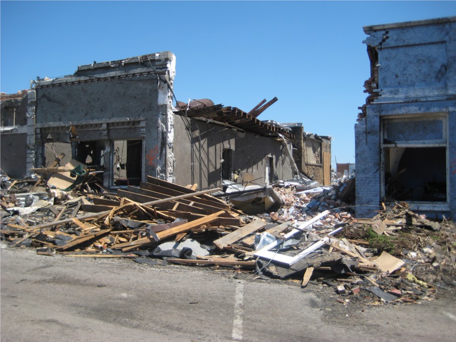
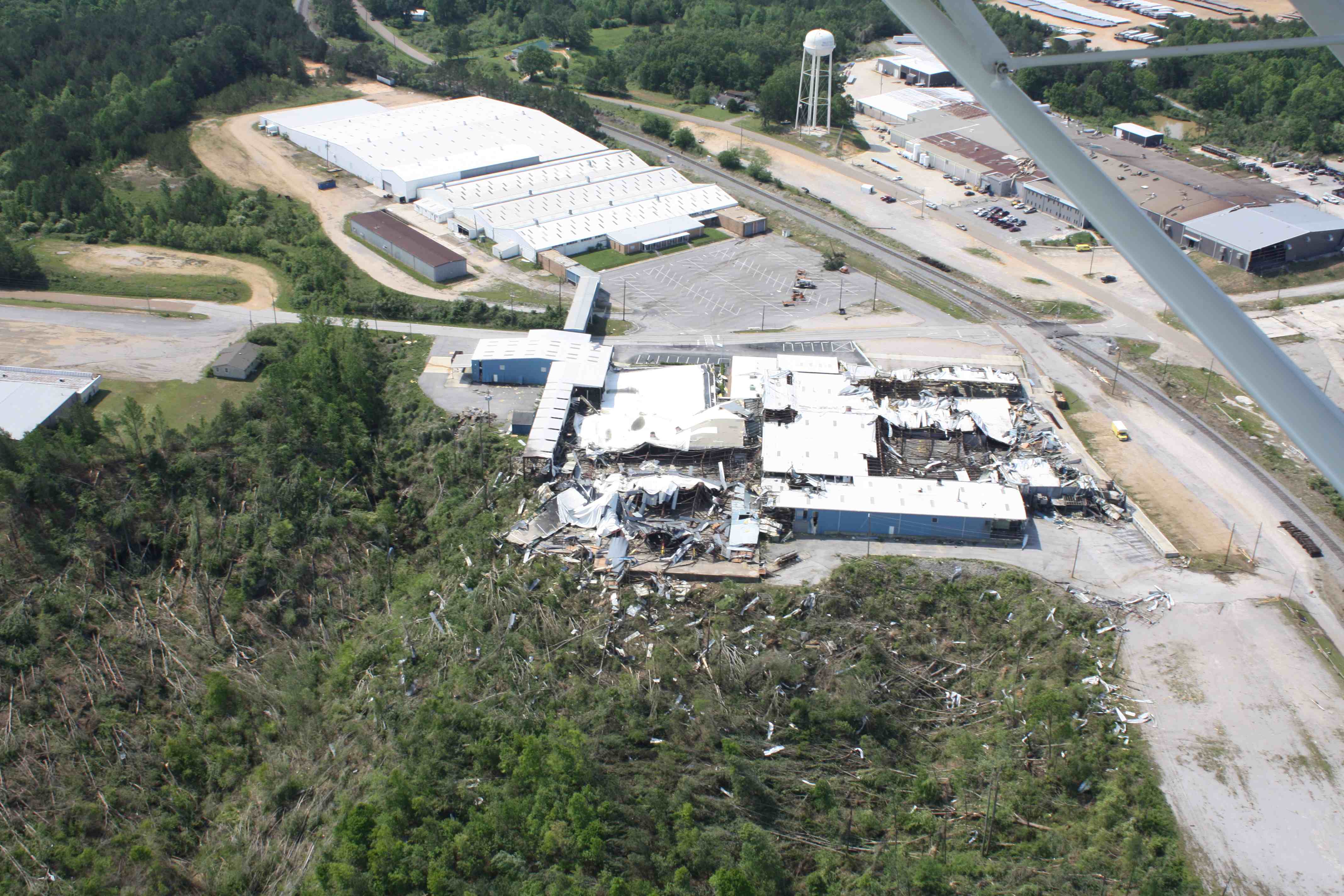
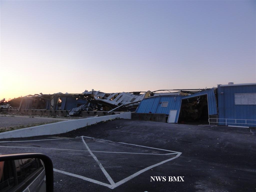
"This is a day where we could see some violent tornadoes, perhaps long-tracked tornadoes, that get down on the ground and stay down for 20, 30, 40 miles or longer, and I'm afraid we will have multiple instances of these today."
"This is a violent tornado situation, it's a life threatening situation. Please take cover anytime you're under a tornado warning on a day like this. Again a few times in your life are you going to see anything like this..."