I see that UH tracks have been the talk this morning. This is a great Twitter thread on why you need to be careful when using UH tracks, especially in the presents of a limited amount of tracks.
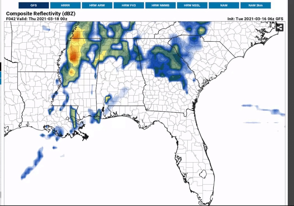
The CAM's already have a significant amount of UH tracks on Wednesday and they still may be underestimating them for smaller storms.
The CAM's already have a significant amount of UH tracks on Wednesday and they still may be underestimating them for smaller storms.