• Welcome to TalkWeather!
    We see you lurking around TalkWeather! Take the extra step and join us today to view attachments, see less ads and maybe even join the discussion.
    CLICK TO JOIN TALKWEATHER

Severe WX Severe Weather Threats 1/21-1/22 2017 (Saturday - Sunday)

I'm actually onboard with the SPC. I'm not saying I disagree that the warm front is still that far south, but looking at surface obs for SW Alabama counties and even as far north as Chilton County..7. the past 1-2 hours has seen temp and dewpoint increases in a lot of places.

Obviously Baldwin and Mobile have seen the biggest jump. I think we are seeing warmer moister air move more quickly to the north than some short term models were indicating.

I'm not discounting a severe threat as far north as I-20 just yet.

http://mesowest.utah.edu/cgi-bin/dr...tate=AL&hour1=03&month1=01&day1=22&year1=2017
 
From the latest meso discussion from SPC:

Farther to the west, storms continue to shift east-northeast across
central and southeast Mississippi into west central and southwest
Alabama. With less extensive stratiform-type precipitation falling
northeast/upstream of this convection, inferring a more favorable
airmass ahead of the storms, severe/tornado risk appears to be
increasing across western and central Alabama in the short term.
There does seem to be a lot of space between the storms...especially between the ones ahead of the front vs the ones further south along the front.
 
I notice a SVR in Shelby county from the cells lifting north. Didn't expect to see that quite so early on so far north and east, though I suspect it's actually on the warm front and if so would not be so surprising.
 
About the Hattiesburg tornado, my sister works at William Carey, anyway a girls soccer player got her fingers basically cut off by the wind slamming on her hand because of the pressure. Guess I never thought about doors as a danger. But just go somewhere and don't try to open a door to check anything until it is completely gone.... and this may have been posted and I'm sorry if it has. I have not checked the other pages, down here helping out.
 
About the Hattiesburg tornado, my sister works at William Carey, anyway a girls soccer player got her fingers basically cut off by the wind slamming on her hand because of the pressure. Guess I never thought about doors as a danger. But just go somewhere and don't try to open a door to check anything until it is completely gone.... and this may have been posted and I'm sorry if it has. I have not checked the other pages, down here helping out.

:(
 
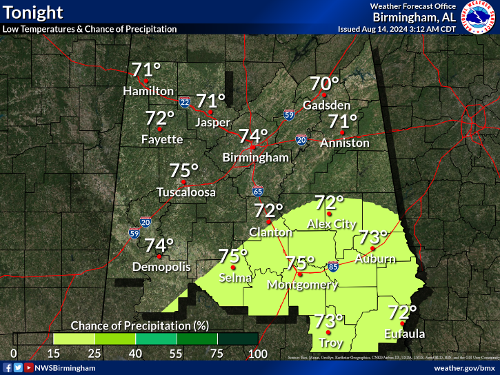
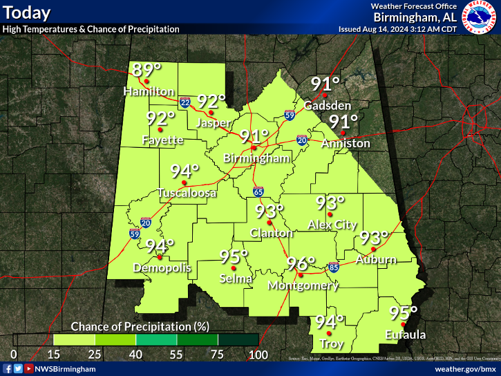
Latest BMX graphics:

image1.png


image2.png
 
I am beginning to think tonight will not be that bad. I am glad about that. Hopefully things will continue the way they are.

Hopefully you are right about tonight not being bad. Alabamawx.com says a special weather balloon launch (bham) a few hours ago (or less?) shows the presence of a low level inversion currently inhibiting greater severe weather formation. They also say the inversion should disappear in the next few hours.

Can anyone tell us more about the role of low level inversions relative to severe weather?
 
Back
Top