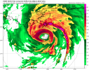
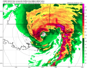
12Z HWRF throwing out 947mb right before landfall. 953 at landfall, Dauphin Island/MS Gulf Coast. It's always a bit aggressive, but right to often to ignore.
Follow along with the video below to see how to install our site as a web app on your home screen.
Note: This feature may not be available in some browsers.

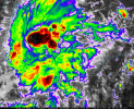

Quicker it intensifies the more likely for a stronger storm in general ImoWell insulated. Lots of chance to deepen where it sits currently.
View attachment 55124
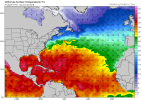
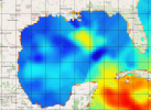
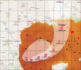
Yep. Absolute bathwater. Depth 26C Isotherm also indicates the typical Gulf warm pool of deep heat along the path.Of course 92L is sitting parked over the warmest SSTs of anywhere in the Atlantic Basin

From the NHC website:
"NHC will initiate advisories on Tropical Depression Nine (formerly AL92), located in the southwest Gulf of America, at 400 PM CDT (2100 UTC)."

Indeed - it's hard to imagine anything from previous years surviving this - I remain unconvinced that this just getting ripped apart is out of the question.I was fairly bearish on intensity this morning, but that’s since changed due to how it looks and the size it might get to. SSTs through its track are above 30 C and there’s a big blob of very rich OHC that it may be able to tap into in the central Gulf right now. Shear is still the only big question mark to me.
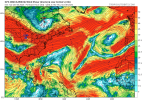
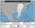
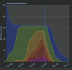
Wow, quite bullish on forecast intensity and rate of intensification.

Ugh didn’t even think of that…… more reasons for gas to go higherIn case refineries in the Gulf are disrupted, I would suggest filling up with gas this evening in case prices spike on top of already high gas prices.