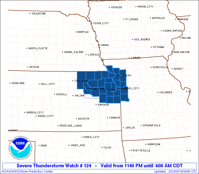
• Welcome to TalkWeather!
    We see you lurking around TalkWeather! Take the extra step and join us today to view attachments, see less ads and maybe even join the discussion.
    CLICK TO JOIN TALKWEATHER

Severe WX Severe Weather Threat 4/5/17-4/6/17

TORNADO WATCH

ww0124_overview_big_wou.gif


URGENT - IMMEDIATE BROADCAST REQUESTED
Tornado Watch Number 124
NWS Storm Prediction Center Norman OK
650 AM CDT Wed Apr 5 2017

The NWS Storm Prediction Center has issued a

* Tornado Watch for portions of
much of Alabama
western portions of the Florida Panhandle
western Georgia
parts of eastern Mississippi
Coastal Waters

* Effective this Wednesday morning from 650 AM until NOON CDT.

* Primary threats include...
A few tornadoes likely with a couple intense tornadoes possible
Scattered large hail and isolated very large hail events to 2.5
inches in diameter possible
Scattered damaging wind gusts to 65 mph possible

SUMMARY...An increase in storm coverage and intensity is expected
this morning, with several supercell storms expected to evolve
through midday. Potential for very large hail and locally damaging
winds is evident -- along with a few tornadoes.

The tornado watch area is approximately along and 100 statute miles
north and south of a line from 80 miles north northwest of Mobile AL
to 15 miles northeast of Macon GA. For a complete depiction of the
watch see the associated watch outline update (WOUS64 KWNS WOU4).

PRECAUTIONARY/PREPAREDNESS ACTIONS...

REMEMBER...A Tornado Watch means conditions are favorable for
tornadoes and severe thunderstorms in and close to the watch
area. Persons in these areas should be on the lookout for
threatening weather conditions and listen for later statements
and possible warnings.
 
I wonder why the severe t-storm watch was not replaced for Fayette, Walker and Blount Counties with a tornado watch? Meanwhile, the thunderstorms have made it to Guntersville.
 
Gotta keep throwing these rapid refresh models out. Aren't handling the morning convection properly AT ALL.

Depending on how all of this convection behaves and moves, one concern I have is if it sets up some type of thermal boundary for stuff later this afternoon. (assuming it clears out enough to allow for a strong second round). I was thinking of the boundary that setup on April 15, 2011, but I suppose that was more of a cold pool from the morning MCS.
 
I saw the sun this morning before the severe thunderstorm moved through Wedowee. Visible shows it shining again soon. There's lots of clearing out there.
 
Gotta keep throwing these rapid refresh models out. Aren't handling the morning convection properly AT ALL.

They're just straight up initializing 100% wrong. They need to get that fixed ASAP (across ALL American models to be honest).
 
Depending on how all of this convection behaves and moves, one concern I have is if it sets up some type of thermal boundary for stuff later this afternoon. (assuming it clears out enough to allow for a strong second round). I was thinking of the boundary that setup on April 15, 2011, but I suppose that was more of a cold pool from the morning MCS.
I am thinking the same...I am thinking that boundry will lift a bit north though as storms wind down in the next hour or two.
 
The rain is crazy in this latest Thunderstorm Warning (Shelby Co AL).....
 
Absolutely pissing rain in Hayden for the last hour. Still going. Intense lightning too.
 
Back
Top