• Welcome to TalkWeather!
    We see you lurking around TalkWeather! Take the extra step and join us today to view attachments, see less ads and maybe even join the discussion.
    CLICK TO JOIN TALKWEATHER

Severe Weather Threat 3/17-3/19, 2022

Messages
148
Reaction score
210
Location
Trussville
The cells that form could have some nasty winds and decent sized hail, however, the helictites are well into the Carolinas helping limit the tornado factor for central Alabama
 
Messages
2,834
Reaction score
4,559
Location
Madison, WI
SPC says localized but potentially significant tornado threat the next few hours in south-central to southeast AL/western Florida panhandle.

 
Messages
2,834
Reaction score
4,559
Location
Madison, WI
Near as I can tell, the one tornado warning currently in effect in southeastern Alabama doesn't even contain the most obvious couplet on radar.

Edit: They finally warned it.

33ba5cdaac6ad506b18ac560442e420d.jpg
 
Last edited:
  • Thread starter
  • Moderator
  • #45

Taylor Campbell

Moderator
Moderator
PerryW Project Supporter
Messages
2,110
Reaction score
2,209
Location
Wedowee, AL
Special Affiliations
  1. SKYWARN® Volunteer
They issued the tornado warning at 10:23 for the south storm.
 
  • Thread starter
  • Moderator
  • #48

Taylor Campbell

Moderator
Moderator
PerryW Project Supporter
Messages
2,110
Reaction score
2,209
Location
Wedowee, AL
Special Affiliations
  1. SKYWARN® Volunteer
Tornado warned.

7D565231-1AA3-4C1C-9C29-ECAAA4660748.png
 
Last edited:
  • Thread starter
  • Moderator
  • #52

Taylor Campbell

Moderator
Moderator
PerryW Project Supporter
Messages
2,110
Reaction score
2,209
Location
Wedowee, AL
Special Affiliations
  1. SKYWARN® Volunteer
Reports of mobile home damage in Atmore, AL and Holt, FL.
 

bwalk

Member
Messages
597
Reaction score
291
Location
Prattville, Al
The question all along re today's possible severe weather for Alabama has been can the afternoon atmosphere recover from this morning's activity. To do so would require cloud clearing for sunlight-related surface heating. Here is the latest satellite pic for Alabama (3:45 pm CST). It looks to be a borderline call as far as timing. As Fred has pointed out, another requirement for firing was a source of lift needed for this afternoon's storms to fire.

1647638502388.png
 

Fred Gossage

Member
Meteorologist
PerryW Project Supporter
Messages
596
Reaction score
2,096
Location
Florence, AL
The atmosphere has recovered over west Alabama with 1000-1500 CAPE in the northwest and 2000-3000 CAPE between Tuscaloosa and Mobile all being shown on mesoanalysis, and that's with dewpoints in the Shoals at least being shown a couple degrees cooler on mesoanalysis than the actual surface observations have shown. We had a couple of shallow rotating convective showers go up south of the Tennessee River, but the veered low-level flow just above the surface contributing to a lack of deeper boundary layer convergence and the intensely dry mid-level air mass has pretty much nixed this afternoon threat for the most part.
 

Clancy

Member
Messages
2,546
Reaction score
4,611
Location
Macland, Georgia
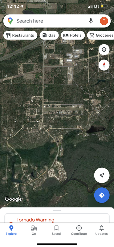
TORR now.

BULLETIN - EAS ACTIVATION REQUESTED
Tornado Warning
National Weather Service Tallahassee FL
623 PM CDT Fri Mar 18 2022

The National Weather Service in Tallahassee has issued a

* Tornado Warning for...
East central Bay County in the Panhandle of Florida...

* Until 700 PM CDT.

* At 623 PM CDT, a tornado producing storm was located over Panama
City, moving northeast at 30 mph.

HAZARD...Damaging tornado and quarter size hail.

SOURCE...Radar confirmed tornado.

IMPACT...Flying debris will be dangerous to those caught without
shelter. Mobile homes will be damaged or destroyed.
Damage to roofs, windows, and vehicles will occur. Tree
damage is likely.

* This tornadic thunderstorm will remain over mainly rural areas of
east central Bay County, including the following locations...
Bayhead, Brannonville, Dirego Park, Recota Beach, College Station,
Bayou George, Majette, Camp Flowers and Cedar Grove.

PRECAUTIONARY/PREPAREDNESS ACTIONS...

To repeat, a tornado is on the ground. TAKE COVER NOW! Move to a
basement or an interior room on the lowest floor of a sturdy
building. Avoid windows. If you are outdoors, in a mobile home, or in
a vehicle, move to the closest substantial shelter and protect
yourself from flying debris.

Heavy rainfall may hide this tornado. Do not wait to see or hear the
tornado. TAKE COVER NOW!

Torrential rainfall is occurring with this storm, and may lead to
flash flooding. Do not drive your vehicle through flooded roadways.

&&

LAT...LON 3019 8572 3036 8554 3024 8543 3016 8569
TIME...MOT...LOC 2323Z 240DEG 25KT 3020 8567

TORNADO...OBSERVED
MAX HAIL SIZE...1.00 IN
 
Logo 468x120
Back
Top