- Moderator
- #181
Navigation
Install the app
How to install the app on iOS
Follow along with the video below to see how to install our site as a web app on your home screen.
Note: This feature may not be available in some browsers.
More options
-
Welcome to TalkWeather! We see you lurking around TalkWeather! Take the extra step and join us today to view attachments, see less ads and maybe even join the discussion. CLICK TO JOIN TALKWEATHER -
Current Tropical Systems Melissa
You are using an out of date browser. It may not display this or other websites correctly.
You should upgrade or use an alternative browser.
You should upgrade or use an alternative browser.
Severe WX Severe Weather Threat 2/27/17-3/2/17
- Thread starter Kory
- Start date
-
- Tags
- severe weather
Bama Ravens
Member
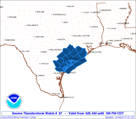
Watch has been issued, waiting for graphic to be available.
Bama Ravens
Member

Equus
Member
Watch is out. 60/20
Bama Ravens
Member

URGENT - IMMEDIATE BROADCAST REQUESTED
Tornado Watch Number 57
NWS Storm Prediction Center Norman OK
1150 AM CST Wed Mar 1 2017
The NWS Storm Prediction Center has issued a
* Tornado Watch for portions of
Northern and Central Alabama
Northern Georgia
Central and Northeast Mississippi
Extreme Western North Carolina
Southeast Tennessee
* Effective this Wednesday morning and evening from 1150 AM until
600 PM CST.
* Primary threats include...
A few tornadoes likely
Scattered large hail and isolated very large hail events to 2
inches in diameter possible
Scattered damaging wind gusts to 70 mph possible
SUMMARY...Thunderstorms will slowly intensify this afternoon along a
boundary extending from northern MS into southeast TN, and spread
across the watch area. Large hail and isolated tornadoes are the
main threats with these storms.
The tornado watch area is approximately along and 60 statute miles
north and south of a line from 40 miles southwest of Greenwood MS to
65 miles east of Chattanooga TN. For a complete depiction of the
watch see the associated watch outline update (WOUS64 KWNS WOU7).
Bama Ravens
Member
BMX has gotten to where they no longer update their AFD frequently.
stormcentral
Member
Helicity
Member
Tornado warning now for Lauderdale/Limestone counties
Sent from my iPhone using TalkWeather
Sent from my iPhone using TalkWeather
warneagle
Member
SVR warning for D.C. and us in the MD suburbs. Good time to be riding the subway home!
Equus
Member
These are looking awfully cellular. Multiple SVR now in MS, weak rotation near Eupora
MikeP
Member
Any balloon data yet?
Equus
Member
Pretty nice couplet between Trinity and Athens
Bama Ravens
Member
BMX hasn't updated their AFD since like 4am other than for aviation. Frustrating on a day like today.
- Moderator
- #195
Baseball-sized hail in Toney earlier, and cell with large hail hitting Huntsville now.
- Admin
- #196
- Messages
- 3,538
- Reaction score
- 3,141
- Location
- Fayetteville, AR
- Special Affiliations
- SKYWARN® Volunteer
We had nickel and quarter size hail here in Research Park in Huntsville. Looks like my Jeep has survived another round of hail.
- Moderator
- #197
Caught the tail end of it in Jones Valley, Huntsville. 3/4th inch hail. I don't want to imagine what Madison and others experienced with that extreme reflectivity
warneagle
Member
I have no idea what happened here; got on the subway before it started, and it was past by the time my train came back above ground. Doesn't look like we got too much other than rain up here north/northeast of DC. Worst storms were down to the south of the metro area I think.
xJownage
Member
Oh, what a time for KHTX to go down !!
- Moderator
- #200
That cell in Fayette doesn't look good to me...

