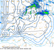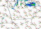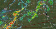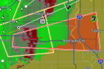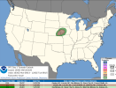
Starting a thread for today's severe weather threat, despite recent downtrends in the forecast, because today is still the highest tornado potential we've seen in a month and I think today's observed soundings reveal a potent (yet highly conditional) tornado environment. The ceiling is certainly high today.
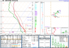
1PM CDT Aberdeen, SD Sounding reveals almost 500 m2/s2 0-1km SRH
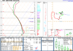
1 PM CDT Omaha, NE Sounding
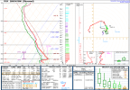
1PM CDT North Platte, NE Sounding reveals surface CAPE builds fast where clouds are clearing.
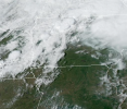
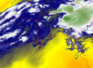
There's quite a bit of clearing with strong surface winds pushing dry air to the North
We'll see what happens!
Last edited: