jiharris0220
Member
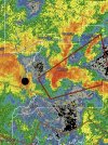
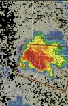
The hrrr and the RRFS uptrend this suit, pretty much showing the apocalypse, the 3km NAM on the other hand shows the absolute floor of this event, only a few semi strong, short lived helicity streaks.
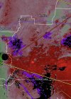
Curious to see if that 3kmNAM one is a fluke or not, interestingly enough, the low resolution NAM has uptrended with the northern extent of moisture return.
Curious to see if that 3kmNAM one is a fluke or not, interestingly enough, the low resolution NAM has uptrended with the northern extent of moisture return.