TH2002
Member
- Messages
- 4,974
- Reaction score
- 11,116
- Location
- California, United States
- Special Affiliations
- SKYWARN® Volunteer
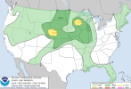
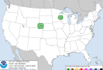
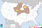
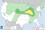
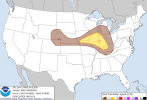
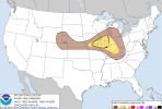
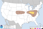
Looks like a conditional but potentially significant tornado threat could develop in Iowa and south/southeastern MN on D3/Wed per the GFS and NAM, though the GFS is more honing in on the latter.