akt1985
Member
A good portion of the first MCS is Tornado Warned in eastern Kentucky.
Follow along with the video below to see how to install our site as a web app on your home screen.
Note: This feature may not be available in some browsers.



Stormrunner media is on it and it isn't doing anything right now I think. I'd wager it'll try though based on appearance. Super photogenic too.Potentially hail wrapped circulation/tornado in.... Western South Dakota right now. Insane supercell.
That's not the one in question. I'm talking north of the KUDX site.Stormrunner media is on it and it isn't doing anything right now I think. I'd wager it'll try though based on appearance. Super photogenic too.
Nevermind LOL I thought he was on that one.That's not the one in question. I'm talking north of the KUDX site.
All good. I should've specified a bit betterNevermind LOL I thought he was on that one.
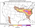
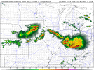
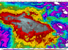
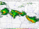
Look out your window in the morning and you'll get a accurate forecastThe current differences between the HRRR and NAMNST for tomorrow morning's forecast are frustrating to say the least. Absolutely no similarities between the two scenarios. HRRR is showing a pretty gnarly wind threat for sunrise in central Iowa with copious amounts of high octane fuel out in front. Nam is showing a much larger area of instability right now with a cap that's supposed to burst around now and pop up gnarly MCS's everywhere and showers all night in central Iowa. Basically impossible to pull a forecast from this information.
View attachment 54629View attachment 54630
View attachment 54631View attachment 54632
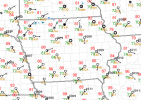
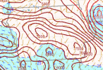


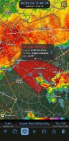
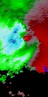
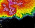
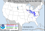
Kinda skeptical of the tornado but I will say these storms are some of the nastiest storms I think I've ever tracked. Derecho grade windspeeds + meteoric hail is insanity.90 mph winds, 4 inch hail and a probable tor in the middle if nowhere and lack of CC due to hail. I think that may verify my mesoscale tornado talk for last night. I'll consider that a nice cheque.
True, i am a bit skeptic too but the fact it favorably latched in a boundary and then proceeded to strengthen its couplet makes me think something was going on. The hook wrapped BIG TIME too around. There's no way to know but the processes leading up to it make it pretty fair why a tornado mightve happenedKinda skeptical of the tornado but I will say these storms are some of the nastiest storms I think I've ever tracked. Derecho grade windspeeds + meteoric hail is insanity.