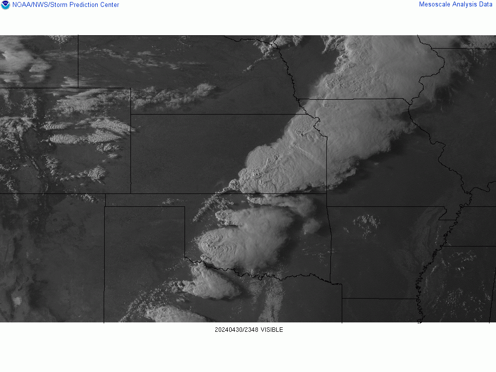
Follow along with the video below to see how to install our site as a web app on your home screen.
Note: This feature may not be available in some browsers.
Looks like our DeLorean hit 88 miles per hour a little too hard! A recent style update went sideways, sending us back to a retro look for a bit. We've parked that faulty future theme for now while we tinker under the hood.
Welcome to TalkWeather!
We see you lurking around TalkWeather! Take the extra step and join us today to view attachments, see less ads and maybe even join the discussion.
CLICK TO JOIN TALKWEATHER
dont know why this threat isnt getting much attention... if outflow boundaries can form from overnight stuff friday night... saturday can be pretty vilotale across parts mid south... east ark west tn west ky.... maybe even far northern ms.... cape values nearing 5000 with dp pushing lo 70s... late saturday... already an enhanced risk for day 3... and todays model runs actually were bit more ominous...
Could be a whopper of a derecho event and also a classic window smashing hail event. SPC suggests CAPE values for location/date are near record territory. Wouldn't be shocked at all if they upgrade to high at 60% wind.
Yeah this could be a record-setting derecho event. The comparison to 26/5/1997 in the discussion was eye-catching. Thankfully I don't think we'll see a repeat of 27/5/1997, but still.
This early convection wasn't forecasted to be around as long as it has, nonetheless there's still ample potential in the southern part of the moderate risk area for a very severe mcs/possible derecho. The convection in Kansas may continue propagating and disturb that nice outflow boundary (visible on SW window goes-16) leading into Missouri, but I think that will do little to hamper the severity this afternoon.
There is a severe thunderstorm watch from I-40 in Tennessee to the Ohio River. It looks like the cell near Cookeville, Tennessee may be trying to form a hook.
With such absurd CAPE over Oklahoma and several outflow boundaries being produced, not to mention the LLJ influence later, it won't take too much to make up for the mediocre SRH values. Could easily see something very significant if storm and boundary interaction occurs at just the right angle.
That said, SRH is actually up to 300 m2/s2 over N AR and at 200 near Tulsa, so most of the parameters are already in place for isolated tornadoes either way. I'm quite interested in E OK into AR and S MO tonight.
This site uses cookies to help personalise content, tailor your experience and to keep you logged in if you register.
By continuing to use this site, you are consenting to our use of cookies.