- Moderator
- #1
Invest 96L in the central Atlantic is headed towards the Leeward Islands and expected to be there by this weekend.
Follow along with the video below to see how to install our site as a web app on your home screen.
Note: This feature may not be available in some browsers.

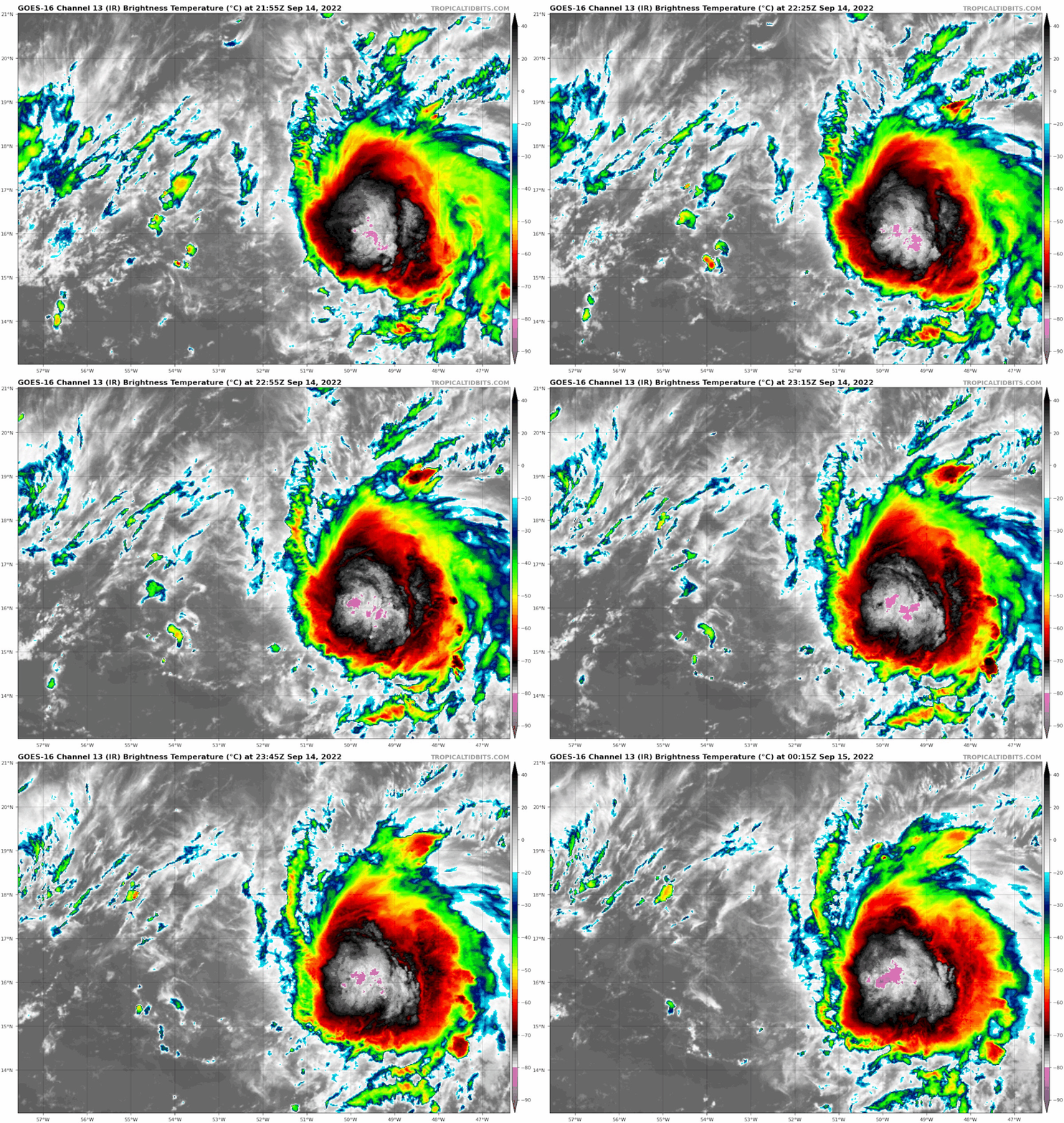
Fiona's low level circulation is far outrunning the large blob of convection behind it, preventing stacking the levels, as moderate wind shear is still inhibiting organization and strengthening. Plus a slug of dry air is leading the way and Fiona is ingesting some of that as well. Good thing or we would probably have a Cat 3 or higher headed our way. For now, those factors should keep Fiona from becoming a hurricane before passage through the islands but we've seen this scenario before. Fiona has been fighting dry air and shear and still plods on slowly consolidating. Wouldn't be surprised if she pulls a meteorological sleight of hand and fools all by making herself a hurricane. Slim odds yes. But......
You're right. It didn't take long at all.up to 105 mph as of the latest advisory, won't be long before it's a major hurricane (if it's not already there)
BULLETIN
Hurricane Fiona Intermediate Advisory Number 23A
NWS National Hurricane Center Miami FL AL072022
200 AM EDT Tue Sep 20 2022
...FIONA BECOMES A MAJOR HURRICANE AS IT APPROACHES THE TURKS AND
CAICOS ISLANDS...
...HEAVY RAINFALL AND LIFE-THREATENING FLASH FLOODING STILL
OCCURRING IN EASTERN PORTIONS OF THE DOMINICAN REPUBLIC...
SUMMARY OF 200 AM EDT...0600 UTC...INFORMATION
----------------------------------------------
LOCATION...20.9N 70.8W
ABOUT 45 MI...70 KM SSE OF GRAND TURK ISLAND
MAXIMUM SUSTAINED WINDS...115 MPH...185 KM/H
PRESENT MOVEMENT...NNW OR 330 DEGREES AT 10 MPH...17 KM/H
MINIMUM CENTRAL PRESSURE...967 MB...28.56 INCHES
BULLETIN
Hurricane Fiona Advisory Number 37
NWS National Hurricane Center Miami FL AL072022
Issued by the NWS Weather Prediction Center College Park MD
1100 AM AST Fri Sep 23 2022
...POWERFUL FIONA STRENGTHENS SLIGHTLY WHILE IT RACES TOWARD
ATLANTIC CANADA...
...HURRICANE CONDITIONS EXPECTED TO BEGIN THERE TONIGHT...
SUMMARY OF 1100 AM AST...1500 UTC...INFORMATION
-----------------------------------------------
LOCATION...35.9N 64.2W
ABOUT 250 MI...405 KM N OF BERMUDA
ABOUT 600 MI...970 KM S OF HALIFAX NOVA SCOTIA
MAXIMUM SUSTAINED WINDS...130 MPH...215 KM/H
PRESENT MOVEMENT...NE OR 45 DEGREES AT 35 MPH...56 KM/H
MINIMUM CENTRAL PRESSURE...936 MB...27.64 INCHES
WATCHES AND WARNINGS
--------------------
CHANGES WITH THIS ADVISORY:
None.
SUMMARY OF WATCHES AND WARNINGS IN EFFECT:
A Hurricane Warning is in effect for...
* Nova Scotia from Hubbards to Brule
* Prince Edward Island
* Isle-de-la-Madeleine
* Newfoundland from Parson's Pond to Francois
A Tropical Storm Warning is in effect for...
* Bermuda
* St. Andrews New Brunswick to west of Hubbards Nova Scotia
* West of Brule Nova Scotia to Cap Madeleine Quebec
* Anticosti Island
* Sheldrake Quebec to north of Parson's Pond Newfoundland
* Boat Harbor to Hare Bay Newfoundland
* Francois to St Lawrence Newfoundland
A Tropical Storm Watch is in effect for...
* North of Boat Harbor Newfoundland to West Bay Labrador
