• Welcome to TalkWeather!
    We see you lurking around TalkWeather! Take the extra step and join us today to view attachments, see less ads and maybe even join the discussion.
    CLICK TO JOIN TALKWEATHER

Severe WX April 11th-13th, 2020 Severe Weather Threat

Things are right on track. I’m not sure how many freakin times we have to go through rapid warm air advection for people to get get a freakin clue of how we can rapidly change air masses here.
I know that the warm sector is on its way. I just thought that it was forecast to arrive in CEN AL by early-mid morning.
 
OK. The dewpoints along the Gulf Coast Pascagoula to Pensacola are now up to 68-72, with Hattiesburg up to 65. But, not that much farther north, Meridian, Demopolis & Evergreen are stuck 50-55. So the warm sector is still hours away. Until that reaches the I-59/20 corridor, I doubt that the SPC will pull the High Risk lever. I had thought the forecast would've brought the warm sector far further north by now.

I don't think that is what is keeping them from pulling a high risk. There are some question as to other atmospheric ingredients... but the warm front is coming north. They don't need to see the ground truth to that. It's as certain as my weather forecast I make every day of "light today, turning dark after sunset"
 
OK. The dewpoints along the Gulf Coast Pascagoula to Pensacola are now up to 68-72, with Hattiesburg up to 65. But, not that much farther north, Meridian, Demopolis & Evergreen are stuck 50-55. So the warm sector is still hours away. Until that reaches the I-59/20 corridor, I doubt that the SPC will pull the High Risk lever. I had thought the forecast would've brought the warm sector far further north by now.
You can go back and look at the models previous runs and compare them to how things look now, and they're right on track.
I wouldn't be put off about the environmental stability right now if you're in central MS/AL. There's a question of how far into North AL the warm front approaches before late this afternoon and that needs to be watched closely, but there in Birmingham they will be fully encompassed within the warm sector by later today, guaranteed.
 
I don't think we get a high risk due to storm mode uncertainty. A lot of the UH streaks look embedded within the QLCS.

I think I agree with this. Although if this thing goes QLCS, you could actually see an "upgrade" to high risk due to wind when the threat from long track tornadoes actually is diminished a little bit.
 
You can go back and look at the models previous runs and compare them to how things look now, and they're right on track.
I wouldn't be put off about the environmental stability right now if you're in central MS/AL. There's a question of how far into North AL the warm front approaches before late this afternoon and that needs to be watched closely, but there in Birmingham they will be fully encompassed within the warm sector by later today, guaranteed.
Correct. Birmingham and Central AL has always been south of the warm front....how far north it gets is the question concerning the impact to North AL / Southern Tn areas. This is a DYNAMIC system, that will have widespread wind damage. Think SPC is handling this very well
 
You can go back and look at the models previous runs and compare them to how things look now, and they're right on track.
I wouldn't be concerned about the environmental stability right now if you're in central MS/AL. There's a question of how far into North AL the warm front approaches before late this afternoon and that needs to be watched closely, but there in Birmingham they will be fully encompassed within the warm sector by later today, guaranteed.
I think that the SPC will upgrade to a high risk later this morning. I just don't know the whens & wheres. The front now is between the coast and N of Hattiesburg, but S of & Evergreen & Demopolis.
 
Last edited:
Here in Huntsville, definitley thought we would have more rain by now based on model runs shown by TV Mets. Seen the sun peak out several times.
 
latest Day 1 has the MDT covering almost all of Alabama(now skirting the Tennessee state line) and Mississippi and well into west Georgia, not to mention a good chuck on Louisiana and Arkansas. 15% hatched.
 
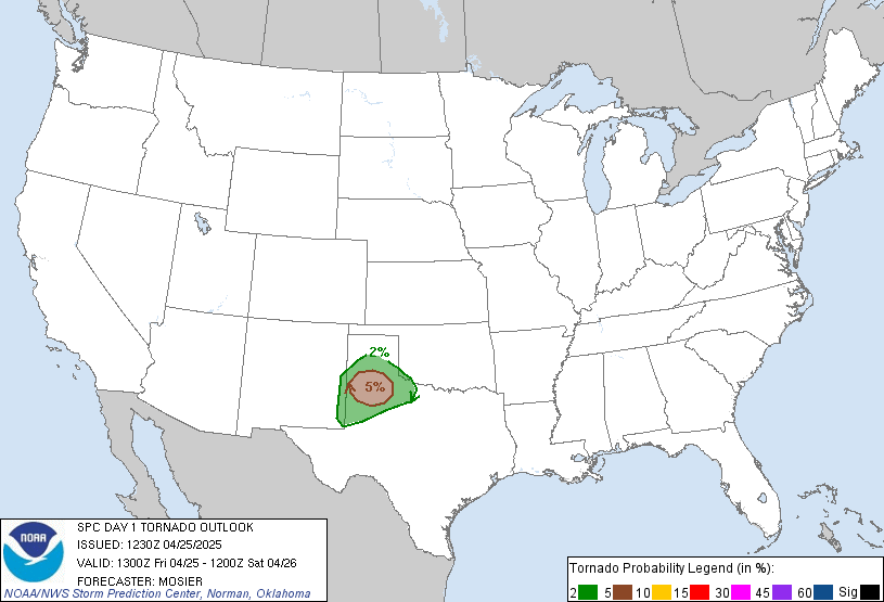
New Day 1:

fema04_swody1.png


day1probotlk_1300_torn.gif
 
Here in Northwest MS and we have had nothing but rain this morning. Looking at Radar, this doesn’t appear to let up any time soon.
 
Back
Top