That picture quality isn't out of the question for cheaply reproduced low quality media - not sure of the whats of the printing process, but if you read old reports on weather events or other scientific topics you'll get photos of that quality often enough.
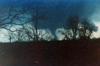
It could potentially be a photo of a completely different tornado, but if it is genuine then Tanner I is the safest bet, firstly it's implied by the caption and the known tracks, and secondly it would have been completely dark by the time the Guin tornado reached that area.
Bit of an exaggeration.
Karstens et al. reviewed pressure drops. The largest is 194 mbar, but it's (IMO) one of the more suspect ones, most are much less. Manchester SD's (reliable) drop of 100 mbar is in the range of strong tropical cyclones. Obviously the steep pressure gradient is very important for the powerful windfield, but I'm not sure the "200 mph" statement is that helpful or true - after all many tornadoes cause no damage. I think it's increasingly clear the EF scale underestimates windspeed (even when not applied in the current, often pig-headed manner) but the unusual windfield dynamics are, from what I've gathered, likely an important factor in why tornadoes can be so destructive.