Good afternoon everyone. First time posting.
Like many of you I am fascinated by weather, particularly severe weather (severe thunderstorms, derechos, tornadoes, microbursts, etc). Growing up in AL, I mean how could you not be. I tell my wife (who grew up in GA) that in Alabama there are 2 things everyone from Carrollton, AL to Oxford, AL to Hunstville, AL, to Mobile, AL have in common: 1) college football love 2) eye for severe weather.
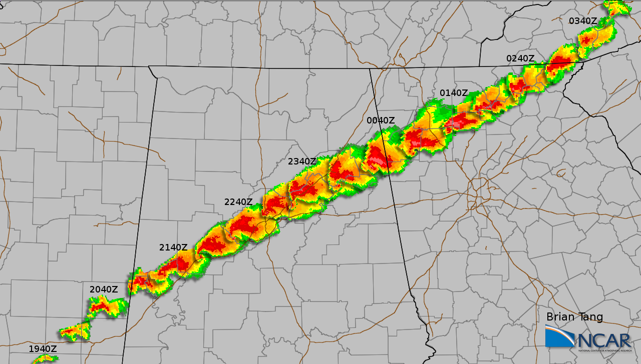
Like you all I have viewed hundreds of images of the cell that began southwest of Tuscaloosa, AL and ended in northwest GA. The damage in Concord,AL and Pleasant Grove, AL has often elicited the question, "how is that damage not consistent with EF5?". Trees (hardwood and softwood) debarked, structures displaced from foundation, etc. I remember driving through Pleasant Grove about a month after the tornado and the landscape had permanently changed.
I am hoping to get some feedback from you all on two fronts:
1. In today's world it appears everything can become political, even weather. Is it possible the reason the EF5 designation was not given was due to reasons outside of the event itself?
2. In comparing pictures from Moore, OK, Joplin, MO, Pleasant Grove, AL, etc. I see very similar if not exact damage markers. In reference to EF5 designation, what should I be looking for in the pictures that the National Weather Service saw on the ground, that I am not observing?
Thanks everyone
Justin


