• Welcome to TalkWeather!
    We see you lurking around TalkWeather! Take the extra step and join us today to view attachments, see less ads and maybe even join the discussion.
    CLICK TO JOIN TALKWEATHER

Volcano thread

bjdeming

Member
Sustaining Member
Messages
1,589
Reaction score
1,307
Location
Corvallis, Oregon
All eyes are on the western flank, of course, but it is difficult to interpret what they see, especially in rainy weather. In this thread, the USGS corrects a misunderstanding -- they have verified that no lava is flowing there.


Field evidence is so important, even in dangerous conditions.
 

bjdeming

Member
Sustaining Member
Messages
1,589
Reaction score
1,307
Location
Corvallis, Oregon
No new updates or changes (though the epicenters do shift around up there).

The Hawaii PODD people released this video from a morning overflight about an hour ago. It is so peaceful and relaxing.

Figured everbody could use that today.


bjdeming

Member
Sustaining Member
Messages
1,589
Reaction score
1,307
Location
Corvallis, Oregon
Cool imagery of the volcano's deformation. The eruption thus far is following what I understand is the typical Mauna Loa playbook. The Saddle Road could get cut in 2-3 days, per HVO a week or so.

 
Last edited:

bjdeming

Member
Sustaining Member
Messages
1,589
Reaction score
1,307
Location
Corvallis, Oregon
Meanwhile, a bit of a tsunami or seiche at Taupo. (Lake Taupo is a crater lake, BTW, from Taupo's supereruption almost 23,000 years ago.)


GeoNet has no new updates on its Bulletin page, but this might get a mention. The alert level remains the same. Here is their Taupo page.

As I understand it, the "worst-case" concern here isn't of another supereruption so much as of a repeat of Taupo's most recent eruption some 1,800 years ago: GeoNet describes it on their volcano page.

It was "normal"-sized but big (VEI 6). However, this is closely monitored and the alert is only Level 1 now.
 
Last edited:

bjdeming

Member
Sustaining Member
Messages
1,589
Reaction score
1,307
Location
Corvallis, Oregon
Trade winds are from the northeast, but both summit and fissure vents are above the inversion. Man, is that a huge amount of sulfur!


Today's stream from the Two Pineapples, currently live but probably not for much longer as dawn is happening and, at the moment, they sound tired. The USGS has added some still cams to their site, though.


bjdeming

Member
Sustaining Member
Messages
1,589
Reaction score
1,307
Location
Corvallis, Oregon
GeoNet's new bulletin on Taupo. It's interesting but not alarming.

A strong M5.6 earthquake occurred beneath Lake Taupō on 30 November. The earthquake was widely felt, causing minor damage and a small tsunami in the lake. Numerous aftershocks have been recorded, with many felt locally. The activity is consistent with ongoing minor volcanic unrest at Taupō volcano. The Volcanic Alert Level remains at 1.

The recent earthquake activity is in the range that had previously been anticipated, and is consistent with minor volcanic unrest. The activity does not warrant a move to a higher volcanic alert level. Minor volcanic unrest has been ongoing at Taupō volcano since May 2022. Prior to 30 November, the unrest had been characterised by hundreds of small typically non felt earthquakes and a few larger events (M3.5 to M4.2) that had been felt.

The M5.6 earthquake caused ground movement measured at sensitive GNSS positioning instruments around Lake Taupō. At least 100 mm of horizontal movement was observed at an instrument at Horomatangi Reef. Further analysis of this data set is underway.
Experts are assessing earthquake-related lake wave activity that occurred as a result of the M5.6 quake. This caused run up along the lakeshore between Wharewaka Point and Taupō township. The wave action is likely the result of a lake based tsunami, however, we are unsure what has generated it.

Earthquake activity can cause landslides and displacement of the lake floor, generating unusual wave activity. If people feel strong ground shaking, hear a loud boom, or notice unusual lake conditions, they should move away from the lake shore.

GNS is carrying out further analysis of existing data and looking at what additional observations can be collected and analysed. These will give us a better insight into the November 30 earthquake sequence and it’s importance in understanding the ongoing volcanic unrest at Taupō. If you have observed anything unusual on or around the lake, please let us know through our observation survey online here.

The M5.6 earthquake has been followed by over 350 located aftershocks. The largest was M4.5, with two others above M4. The magnitude and rate of aftershocks has started to decline but is expected to continue for several weeks. Within the next 7 days, there is a 26% chance of one or more earthquakes of M5 or larger. Within the next 30 days, there is a 35% chance of one or more earthquakes of M5 or larger. Read more on the forecast and other facts on the earthquake here.

Aftershocks have generally declined in magnitude and number since the M5.6 on November 30, but further moderate magnitude earthquakes remain possible.

Earthquakes larger than M5 beneath Lake Taupō have occurred only four times since 1952, including a M5.0 earthquake that occurred on 4 September 2019 as part of a previous period of volcanic unrest.

The number of earthquakes located beneath Lake Taupō during 2022 has now risen significantly with the additional aftershocks from the M5.6 event. The earthquake count now exceeds those located during the previous period of volcanic unrest in 2019.

The 2022 volcanic unrest has now been accompanied by more earthquakes than the 2019 unrest.

Prior to the earthquake on 30 November, the GNSS network continued to show ground uplift beneath Lake Taupō, The rate at an instrument at Horomatangi Reef was 60 mm per year.

We continue to interpret the ground deformation and earthquake activity to be caused by magma and hydrothermal fluids inside the Taupō volcano. The 30 November earthquake is similar to a M5.0 event during the 2019 unrest. While some of the earthquakes have been felt in areas around Lake Taupō, the deformation is currently only detectable by our sensitive monitoring instruments, including the movement associated with the November 30 event.

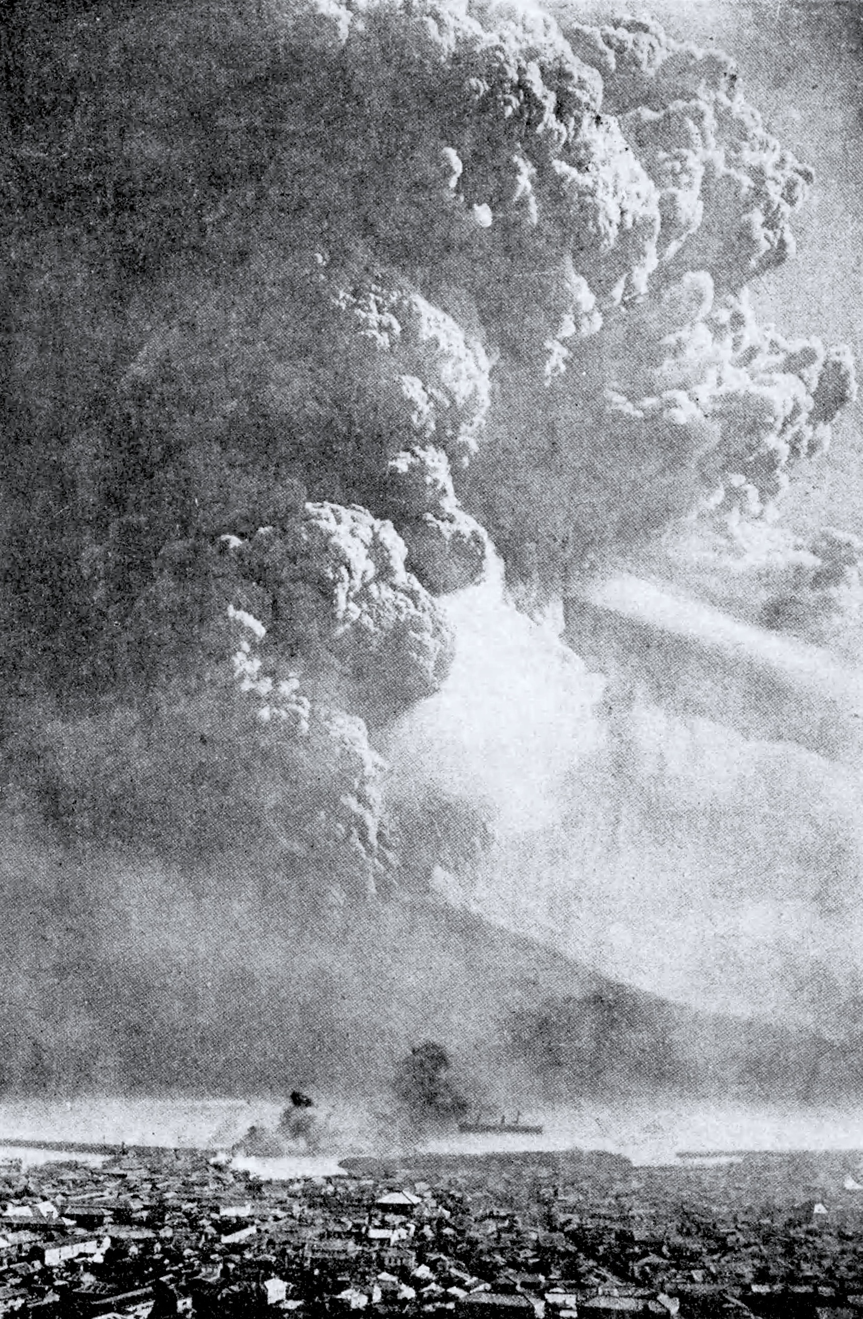
In broad terms, such volcanic unrest occurs when magma or magma-heated hot water and steam moves deep within the ground beneath a volcano, changing stresses and causing earthquakes and ground movement. There have been 17 previous episodes of unrest at Taupō over the past 150 years. None of those have resulted in an eruption. Check out more about this in our recent Q&A about Taupō volcano.

Past unrest episodes at Taupō have continued for several months, even years. The 2022 activity could continue for further weeks or months at varying rates or intensities.

The Volcanic Alert Level reflects the current level of volcanic unrest or activity and is not a forecast of future activity. While Volcano Alert Level 1 is mostly associated with environmental hazards, potential for eruption hazards also exists. Further information about the Volcanic Alert Levels and what they mean can be found here. More information about caldera unrest can be accessed from this report.

The Tūwharetoa Māori Trust Board (CEO Rakeipoho Taiaroa) is closely involved in discussions as the landowner of Lake Taupō. More information about the Trust can be found at https://www.tuwharetoa.co.nz/.

Although we can’t prevent natural hazards, we can prepare for them – and we should.

Know what warning signs to look out for, so you can act quickly. Drop, Cover, and Hold during a large earthquake. If it is Long and Strong, Get Gone! People near the lake front should move to higher ground as soon as it is safe to do so, especially if they hear loud noises or see unusual lake action during earthquake activity.

During volcanic activity, follow official advice provided by your local Civil Defence Emergency Management Group.

More information about Civil Defence in the Taupō District can be found here.

From my reading, during the last few decades volcanologists have emphasized the importance of sharing all relevant information with the public, no matter how nerdy it may see.
 

bjdeming

Member
Sustaining Member
Messages
1,589
Reaction score
1,307
Location
Corvallis, Oregon

bjdeming

Member
Sustaining Member
Messages
1,589
Reaction score
1,307
Location
Corvallis, Oregon
Wow. Just...wow.


bjdeming

Member
Sustaining Member
Messages
1,589
Reaction score
1,307
Location
Corvallis, Oregon
As of yesterday morning, per the HVO updates, Mauna Loa's lava flow has tapered off.

A look at the webcams just now shows that's still the case.

HVO still uses cautious wording, though. No wonder:

1. Tremor there continues, they report.

2. Glow's still present at the cone. Lava is there but, I think, lacks the gas needed for fountaining.

3. I can still see mild pulsating heat changes on the summit thermal cam, best seen late at night when solar heat effects have faded. I think that is lava supplying the NERZ.

4. They've never been able to monitor an eruption here in such detail before, so no historical precedent can help them very much.

Scuse me -- have to go pop some more corn.
 

bjdeming

Member
Sustaining Member
Messages
1,589
Reaction score
1,307
Location
Corvallis, Oregon
Well, they lowered their alert to Watch, although the Aviation Code remains at Orange. Here's the update.
 

bjdeming

Member
Sustaining Member
Messages
1,589
Reaction score
1,307
Location
Corvallis, Oregon
Whoa, pardner! In today's update, they report that the summit and NERZ began inflating on the 7th. They're not yet sure of the significance.

Alert still at Watch.

(Reaches for popcorn can...)
 

bjdeming

Member
Sustaining Member
Messages
1,589
Reaction score
1,307
Location
Corvallis, Oregon
It's official as of this morning: Mauna Loa is no longer erupting.

However, the summit and NERZ are still inflating, and HVO is maintaining the Advisory alert (aviation code lowered to Yellow).

Basically, we're back to where things were before the summit opened up.

GPS came in here years after the last eruption. Too, Mauna Loa's size interferes with leveling surveys.

No data exist to show boffins whether this inflation is part of the basalt giant's typical wind-down or somethng else.

Guess all they can do is go by past eruptions. Pahoehoe stratigraphy reportedly is very difficult, but they mapped hundreds of flows through the Decade Volcano program and probably many more since -- a good thing, too!
 

bjdeming

Member
Sustaining Member
Messages
1,589
Reaction score
1,307
Location
Corvallis, Oregon
Actually, just discovered that Kilauea shut down a day before Mauna Loa did: interesting!

It's not threatening, AFAIK, but it's odd, and I'm following it in this post.
 

bjdeming

Member
Sustaining Member
Messages
1,589
Reaction score
1,307
Location
Corvallis, Oregon
Technical, not fireworks stuff (well, maybe some), but of meteorological as well as volcanological interest.

Recent research has provided evidence of the self-lofting capacity of smoke aerosols in the stratosphere and their self-confinement by persistent anticyclones, which prolongs their atmospheric residence time and radiative effects. By contrast, the volcanic aerosols—composed mostly of non-absorptive sulphuric acid droplets—were never reported to be subject of dynamical confinement. Here we use high-resolution satellite observations to show that the eruption of Raikoke volcano in June 2019 produced a long-lived stratospheric anticyclone containing 24% of the total erupted mass of sulphur dioxide. The anticyclone persisted for more than 3 months, circumnavigated the globe three times, and ascended diabatically to 27 km altitude through radiative heating of volcanic ash contained by the plume. The mechanism of dynamical confinement has important implications for the planetary-scale transport of volcanic emissions, their stratospheric residence time, and atmospheric radiation balance. It also provides a challenge or “out of sample test” for weather and climate models that should be capable of reproducing similar structures.

-- Open-access paper

Sulfur aerosols from those two eruptions did have noticeable sky effects.

  • Raikoke GVP page.
  • Ulawun GVP page.
  • Some papers on stratospheric volcanic aerosols that came up in a search.
 
Last edited:

bjdeming

Member
Sustaining Member
Messages
1,589
Reaction score
1,307
Location
Corvallis, Oregon
This just happened in Japan


That image from last summer is always worth a second look.

Sakurajima started inflating in mid-January, and I missed it because my plate is pretty full just now.

Then today it opened up another of its three summit craters. They're keeping the alert at Level 3 and report as follows (per the Japan Times this happened in 2023, NOT 2020):

16:00 on February 8, 2020 Announcement by Fukuoka District Meteorological Observatory and Kagoshima Local Meteorological Observatory

<Crater area warning (volcanic alert level 3, mountain entry restrictions) continues>

 An eruption occurred at the Showa crater today (8th). There is a risk of eruptions accompanied by large volcanic blocks or small pyroclastic flows over 1 km from the Minamidake summit crater and Showa crater.


Status of volcanic activity​

 Two eruptions occurred at the Showa crater by 15:00 today (8th). The volcanic plume rose up to 1000m above the crater rim. Large volcanic rocks scattered in a trajectory reached up to the 7th station (200m to 300m from the Showa crater).

 Very small eruptions occasionally occurred at the Minamidake summit crater.
 
 During the field survey conducted today, a small amount of ash fell from Arimura-cho to Furusato-cho on Sakurajima Island on the leeward side.
 
 A few volcanic earthquakes have passed. Volcanic tremors occur occasionally.
 
 The inclinometer and extensometer installed on the island have continued to observe gradual crustal movements indicating expansion of the volcanic edifice since around January 14.

Precautions for disaster prevention, etc.​

 Please be cautious of large volcanic blocks and pyroclastic flows that scatter along trajectories associated with eruptions within approximately 2km of the Minamidake summit crater and Showa crater.

 Be careful on the leeward side, as not only volcanic ash but also small cinders are blown away by the wind.

 Please be aware that there is a risk that the window glass will break due to the large air shock that accompanies the explosion. Please note that depending on future ashfall conditions, debris flows may occur during rainfall.[/QUOTE)
 

bjdeming

Member
Sustaining Member
Messages
1,589
Reaction score
1,307
Location
Corvallis, Oregon
Sakurajima flexed its muscles a bit -- only a little bit, as another vulcanian blast (from Minamidake, I think, not the smaller Showa crater mentioned above).

This would have stopped the soccer game:


JMA didn't issue a special report in between its weekly updates, and alert is still Level 3.

Why?

Because this is what Sakurajima looks like when it really gets down to business: plinian-style columns from twin flank fissures in 1914:

1914-dec-sakurajima-large-eruption.jpg


Source, public domain.

That's known as the Taisho eruption, Sakurajima's last biggie. (It's Japanese Wikipedia and, hopefully, will autotranslate for you; if not, you might want to run the original through an online machine, etc., because they have a lot more information on it than English Wikipedia).

There's a sad story connected with that. When the flank first opened up, it was just a little steam/fumes and most people in villages lower down the slope stayed there because the local weather office said it was a meteorological phenomenon -- Sakurajima is out in Kagoshima Bay and was an island at the time, plus it was January.

On the cam in January, even now, it's hard to distinguish between clouds and volcanic plumes out there -- they did the best they could in 1914 -- and got it wrong.

A few hours later, villagers were in between a major eruption upslope and the cold waters of the bay down below. On an island. Lots of them didn't make it.

Afterwards, people and/or village officials erected monuments to "distrust of science" throughout the region.

But everyone learned from the tragedy that arose from a very understandable but deadly error.

In 2014, everyone remembered the lesson and honored the event, per this paper.

Anyway, nothing seems to have changed after that big blast. It's good, because such blasts relieve pressure on the flanks We'll just have to wait and see what happens.

I'm sure they're following this very closely in Japan and in international volcanological circles.
 
Last edited:

Sawmaster

Member
Messages
516
Reaction score
660
Location
Pickens SC
Special Affiliations
  1. SKYWARN® Volunteer
There are similar monuments in the coastal hills of Japan where historical tsunami's reached imploring people to not build your home below this rock.
 

bjdeming

Member
Sustaining Member
Messages
1,589
Reaction score
1,307
Location
Corvallis, Oregon
BTW, JMA said in its current update that they did do an overflight that day and observed no significant changes in the crater. Level is still 3.
 
Logo 468x120
Back
Top