
Navigation
Install the app
How to install the app on iOS
Follow along with the video below to see how to install our site as a web app on your home screen.
Note: This feature may not be available in some browsers.
More options
-
Welcome to TalkWeather! We see you lurking around TalkWeather! Take the extra step and join us today to view attachments, see less ads and maybe even join the discussion. CLICK TO JOIN TALKWEATHER
You are using an out of date browser. It may not display this or other websites correctly.
You should upgrade or use an alternative browser.
You should upgrade or use an alternative browser.
Significant Tornado Events - Global Edition
- Thread starter atrainguy
- Start date


FelipeFreitas
Member
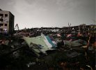
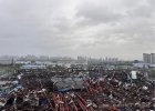
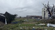
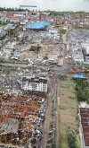
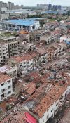
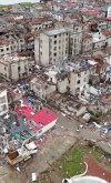
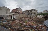
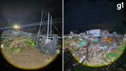
A tornado left people injured in the rural area of Giruá, Rio Grande do Sul, Brazil.
FelipeFreitas
Member
FelipeFreitas
Member

incredible- if you told me this was the plains I’d agree without a second guess
FelipeFreitas
Member
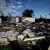
Authorities have confirmed four people were injured. The tornado affected rural areas of three municipalities, leaving approximately 50 homes damaged along its path. As damage assessments continue, more images and information documenting the destruction are expected to emerge tomorrow.
FelipeFreitas
Member
Fortunately, the tornado affected only rural areas, and 12 homes sustained damage.Never mind I see it has been rated high-end F3.
The preliminary rating is F3, and it is expected to remain at that intensity, as the tornado did not impact many populated areas.
FelipeFreitas
Member
FelipeFreitas
Member
FelipeFreitas
Member
SaWxRodrigo
Member
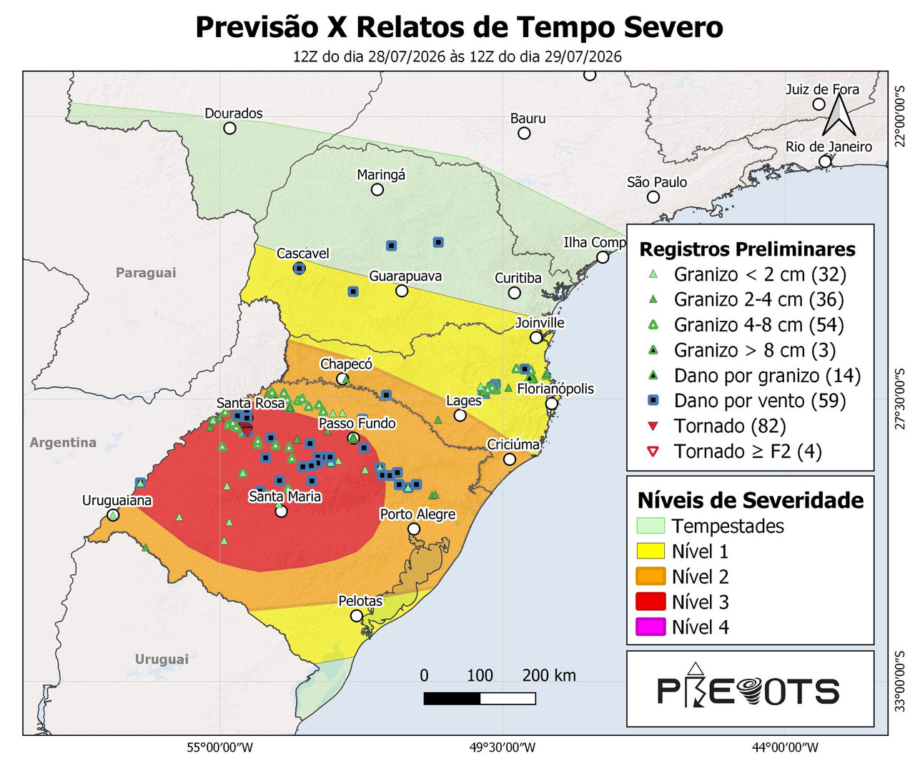
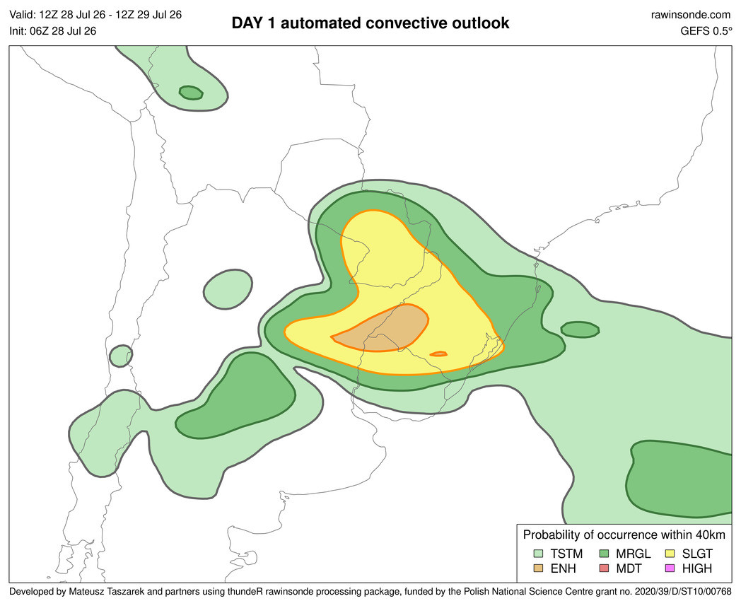
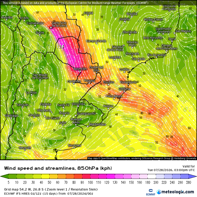
With a Prevots risk level of 3, an "enhanced" risk according to Mateusz Taszarek's AI-based website and the GEFS model, and a SALLJ (South American Low Level Jet) of around 75 km/h (40 kt) in the region at 850 hPa:
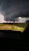
A severe weather system swept through Argentina, Uruguay, and Brazil on Tuesday 07/28, bringing destructive winds and, above all, gorilla hail.
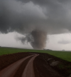
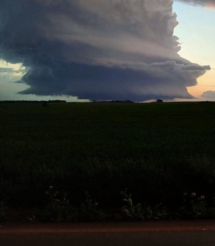
But by far, the highlight of the day was this clokcwise spin, photogenic and likely violent tornado near the towns of Senador Salgado Filho and Sete de Setembro, in the state of Rio Grande do Sul, Brazil...
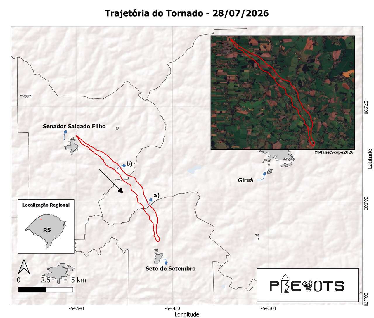
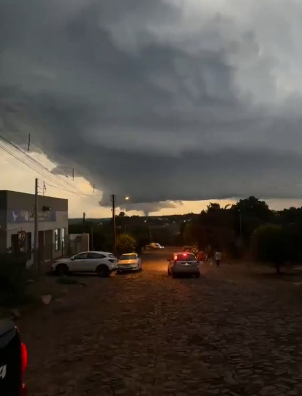
It formed from an equally photogenic Left-Mover LP-Supercell that developed over Argentina and quickly expanded and crossed the border into Brazil, where a nudger cell formed and merged with it along its northwest flank.
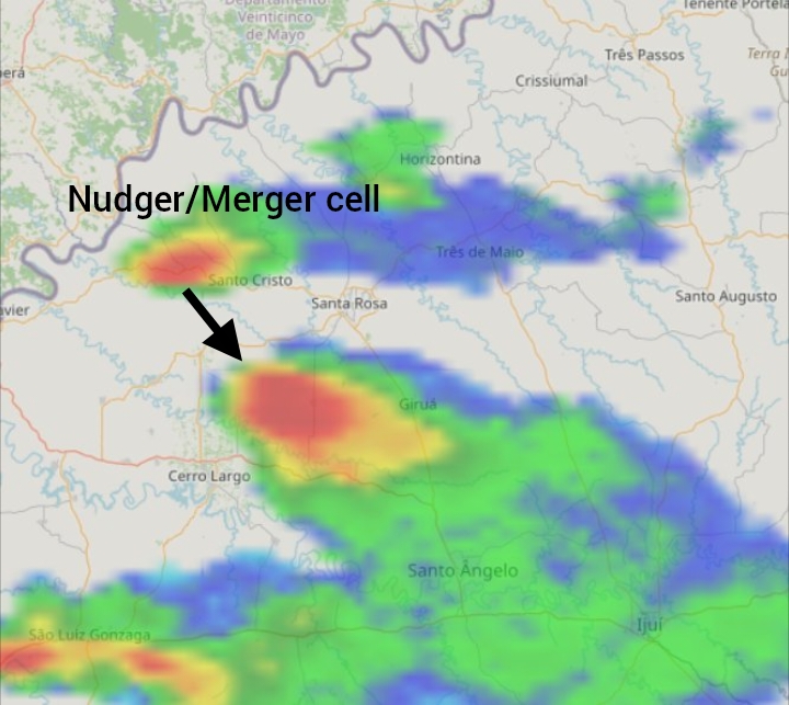
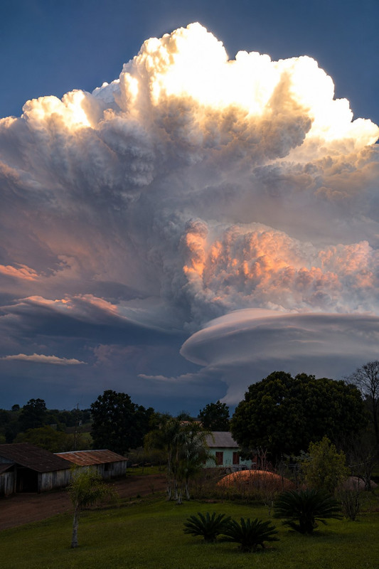
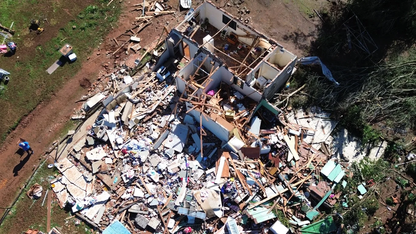
This resulted in a possible violent tornado tornado that received a preliminary F3 rating from Metsul (the main agency responsible for agro-meteorological forecasts
in the Brazilian state where the tornado occurred), with winds of at least 300 km/h (187 mph); however, Metsul experts themselves clarified that it could also be classified as an F4 once they conduct a more in-depth analysis of the damage:
 t.co
t.co
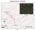
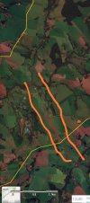
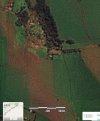
Meanwhile, the Prevots are already hard at work investigating and assessing the damage in the area, and their preliminary classification is high-end F3 based solely on an analysis of just 4 of the 81 total damage markers they have been able to collect.
This is already the second potential tornado ≥F4 so far this year in the SESA (Southeastern South America) region amid the super El Niño we are currently experiencing, demonstrating once again that, proportionally speaking, the SESA region is undoubtedly the region most favored (or rather, most disadvantaged) in terms of severe weather and tornado events worldwide.
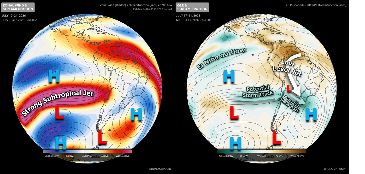
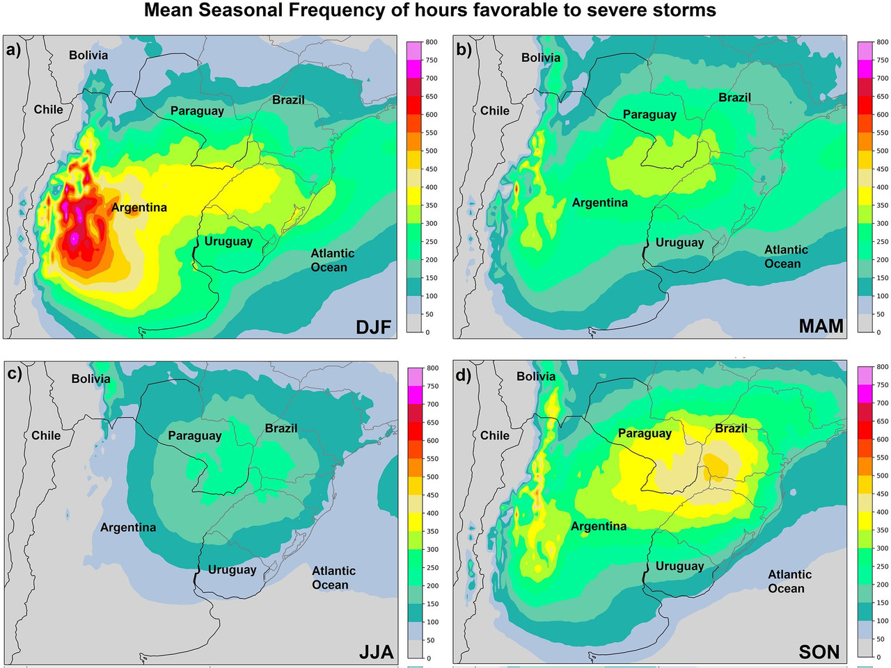
This is just the beginning, we only have to wait for spring (Southern Hemisphere spring), when the South American corridor is climatologically more active, especially in the context of a super El Niño:
A severe weather system swept through Argentina, Uruguay, and Brazil on Tuesday 07/28, bringing destructive winds and, above all, gorilla hail.
But by far, the highlight of the day was this clokcwise spin, photogenic and likely violent tornado near the towns of Senador Salgado Filho and Sete de Setembro, in the state of Rio Grande do Sul, Brazil...
It formed from an equally photogenic Left-Mover LP-Supercell that developed over Argentina and quickly expanded and crossed the border into Brazil, where a nudger cell formed and merged with it along its northwest flank.
This resulted in a possible violent tornado tornado that received a preliminary F3 rating from Metsul (the main agency responsible for agro-meteorological forecasts
in the Brazilian state where the tornado occurred), with winds of at least 300 km/h (187 mph); however, Metsul experts themselves clarified that it could also be classified as an F4 once they conduct a more in-depth analysis of the damage:
Tornado no Noroeste gaúcho pode ter tido vento de 300 km/h
MetSul Meteorologia classifica preliminarmente o tornado no Noroeste gaúcho com F3 com vento estimado em até 300 km/h.
t.co
Meanwhile, the Prevots are already hard at work investigating and assessing the damage in the area, and their preliminary classification is high-end F3 based solely on an analysis of just 4 of the 81 total damage markers they have been able to collect.
This is already the second potential tornado ≥F4 so far this year in the SESA (Southeastern South America) region amid the super El Niño we are currently experiencing, demonstrating once again that, proportionally speaking, the SESA region is undoubtedly the region most favored (or rather, most disadvantaged) in terms of severe weather and tornado events worldwide.
This is just the beginning, we only have to wait for spring (Southern Hemisphere spring), when the South American corridor is climatologically more active, especially in the context of a super El Niño:
Last edited:

slenker
Member
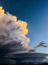
WOW at that image of the supercell with the homes in the foreground. That’s up there with the most beautiful images I’ve ever seen period. Absolutely gorgeous storm and an insane tornado associated with it.
FelipeFreitas
Member
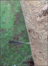
The tornado's intensity is also evidenced by the damage to vegetation. Several ipê trees were snapped along the damage path. Ipê is an exceptionally dense and durable hardwood, ranking among the hardest woods in the world according to the Janka hardness scale, with values of approximately 3,680 lbf (≈16 kN). Although Janka hardness does not directly measure a tree's resistance to wind-induced failure, it reflects the wood's high mechanical strength. Therefore, the snapping of these trees provides a strong indication of the extreme wind forces produced by the tornado.
Street view: https://maps.app.goo.gl/tNiveCBXzjxhHfzL7
Drone: https://drive.google.com/drive/folders/1fNHQqv5-W26J1k78jScn7GLhmt1B-P4-
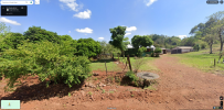
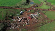
Street view: https://maps.app.goo.gl/tNiveCBXzjxhHfzL7
Drone: https://drive.google.com/drive/folders/1fNHQqv5-W26J1k78jScn7GLhmt1B-P4-
FelipeFreitas
Member
FelipeFreitas
Member
Today there is a risk of a severe thunderstorm outbreak across parts of Argentina.
A strong tornado was reported just moments ago.
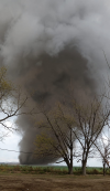
A strong tornado was reported just moments ago.
slenker
Member
Looks like a fairly discrete mode too, could end up being a significant outbreak in northern Argentina. Really astounded by the storms from South America as of late.