akt1985
Member
As far as the United States, there is currently a Severe Thunderstorm east of Rochester, New York and a Tornado Warning southeast of Johnstown, Pennsylvania.
Follow along with the video below to see how to install our site as a web app on your home screen.
Note: This feature may not be available in some browsers.

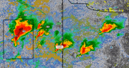
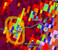
That looks more associated with the big cluster of CC than a seperate CC drop to me. A tornado did touch down though from this supercell a few minutes after.



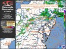
This confused me that nothing was even mentioned about tornadoes. LLJ is fairly supportive of such. Next discussion will probably have it.View attachment 54174
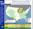
Now enhanced for day 3. Only mentions wind and isolated hail.
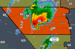
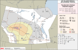
I'm kind of surprised that no one has really commented on Alberta yet but an extreme area of risk has been issued by Environment Canada the 2nd one this year. Cells are starting to fire in this area.
View attachment 54180