• Looks like our DeLorean hit 88 miles per hour a little too hard! A recent style update went sideways, sending us back to a retro look for a bit. We've parked that faulty future theme for now while we tinker under the hood.
  • Welcome to TalkWeather!
    We see you lurking around TalkWeather! Take the extra step and join us today to view attachments, see less ads and maybe even join the discussion.
    CLICK TO JOIN TALKWEATHER

Severe WX Severe Threat 3/21/2017

stormcentral

Member
Messages
143
Location
Chattanooga, TN
Special Affiliations
  1. SKYWARN® Volunteer
There is a slight risk for severe storms tuesday afternoon and evening across the tennessee valley. Stay tuned folks.
95282d55118b144adbe3761dea43f9c7.jpg


Sent from my LGLS775 using TalkWeather mobile app
 
Last edited:
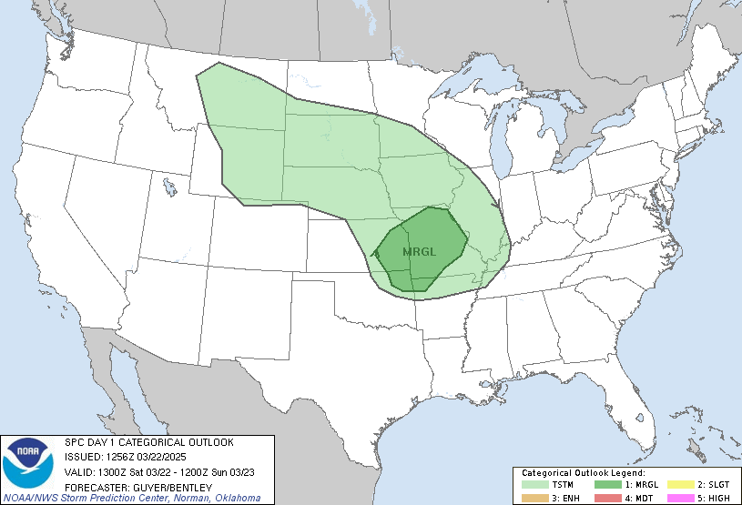
SPC has upgraded portions of the slight risk to an enhanced risk for damaging winds. From the discussion:

...SUMMARY...
Hail and damaging thunderstorm gusts are possible today from the
Ozarks across the Tennessee Valley to the southern Appalachians. An
enhanced corridor of damaging-wind risk now appears more probable
from middle Tennessee to northeastern Alabama and northern Georgia.

day1otlk_1300.gif
 
Lots of Warnings Coming out of Peachtree City for individual cell, along with that nasty bow just North of the Alabama State line in Tennessee! Lots of reports of hail coming out of that mess in South Central, Tennessee!N Georgia.JPG outh Central, Tennessee!
 
Lots of Warnings Coming out of Peachtree City for individual cell, along with that nasty bow just North of the Alabama State line in Tennessee! Lots of reports of hail coming out of that mess in South Central, Tennessee!View attachment 130 outh Central, Tennessee!

Here's a look at VIL out of KFFC with Warnings overlaid.....VIL.JPG
 
Didn't really expect this today....

Tornado Warning
National Weather Service Huntsville AL
503 PM CDT TUE MAR 21 2017

The National Weather Service in Huntsville Alabama has issued a

* Tornado Warning for...
Southwestern Franklin County in Middle Tennessee...

* Until 515 PM CDT

* At 503 PM CDT, a severe thunderstorm capable of producing a tornado
was located near Huntland, or 10 miles south of Lynchburg, moving
southeast at 35 mph.
 
Yesterday was an incredible setup for large hail production. We rarely see days like that in North Georgia.

However, the decaying MCS provided most of our damage and the one fatality.
 
Back
Top