
- Moderator
- #1
It needs its own thread.
Follow along with the video below to see how to install our site as a web app on your home screen.
Note: This feature may not be available in some browsers.
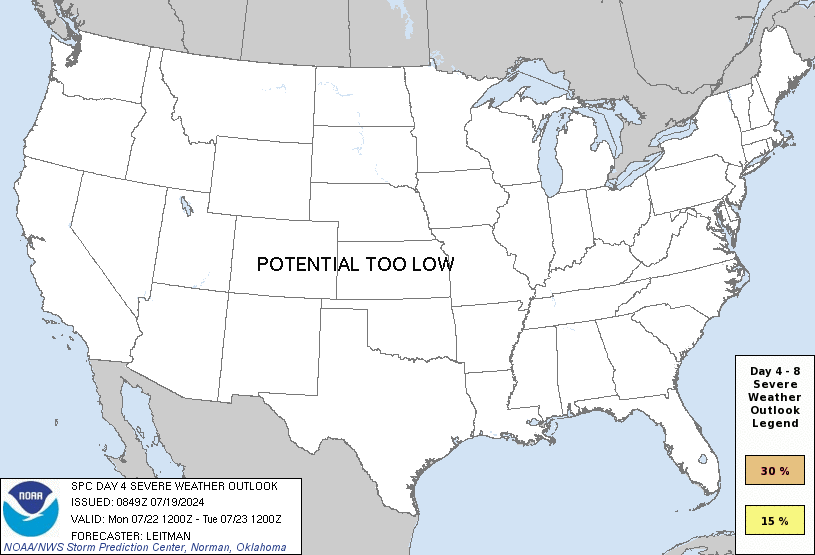
ZCZC SPCSWOD48 ALL
ACUS48 KWNS 140756
SPC AC 140756
Day 4-8 Convective Outlook
NWS Storm Prediction Center Norman OK
0256 AM CDT Wed Mar 14 2018
Valid 171200Z - 221200Z
...DISCUSSION...
Medium-range models are in general agreement that a strong
short-wave trough will flatten a mid-continent ridge during the day4
period. However, considerable differences emerge in regards to the
speed of the short wave and the degree of height falls, or lack
thereof, over the Mid-South. As a result, trailing surface front
should extend across the northern Gulf states into the Red River
region where weak height rises are expected. While a seasonally
moist air mass should encompass much of the Southern States through
the medium-range period, there is considerable uncertainty regarding
the timing of short waves. Organized severe may ultimately develop
along the western-northern fringe of this moisture/instability plume
but predictability remains low regarding the timing and areal
extent.
..Darrow.. 03/14/2018
I agree. Global models were having trouble resolving the low level jet for Sunday/Monday. The pattern has come in a bit more amplified ahead allowing a more SWerly and stronger LLJ. Things look to be discrete given the shear vectors. One caveat, which is showing on the GFS, is a small disturbance that gets entrained ahead of the main trough. I don't see that on the Euro/UKMET.The threat level for this period has trended up.
I agree. Global models were having trouble resolving the low level jet for Sunday/Monday. The pattern has come in a bit more amplified ahead allowing a more SWerly and stronger LLJ. Things look to be discrete given the shear vectors. One caveat, which is showing on the GFS, is a small disturbance that gets entrained ahead of the main trough. I don't see that on the Euro/UKMET.


JP Dice has chimed in as well-Well, now I'm getting kinda concerned. "Conservative forecasting severe weather" James Spann posted this a few minutes ago on Facebook:
Concern is growing over the potential for severe storms in Alabama Monday, especially during the afternoon and evening hours. For now it looks like all modes of severe weather will be possible, including tornadoes. But, it is too early to be really specific about the threat this far in advance. Just be aware of the potential and we will keep you updated...
FIRST ALERT: There is a growing threat we will see severe storms on Monday. The storms will develop as early as mid-morning and continue through the afternoon. The primary risk is hail, damaging winds, and tornadoes. This is a situation you need to monitor closely. Stay with WBRC Fox6 for updates.