Oh will you please just stop with this already? It is getting tiresome.To clarify: I meant that so far 2022 has not featured at least one “clean, low-amplitude, polar-jet-only” system, despite having generated several outbreaks. (The winter of 2021 did feature at least one system that met this description: the major outbreak on 10–11 December.) My point is that I would expect a robust winter-/springtime -PDO/-ENSO/+TNI to yield at least one “clean, low-amplitude, polar-jet-only” system to date in 2022—a large-scale synoptic system that is unaffected by blocking and subtropical interference.
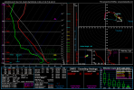
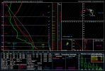
We had over 200 tornadoes in March (the Winterset IA event was a polar jet event), and the event on April 5th was indeed a low amplitude disturbance.