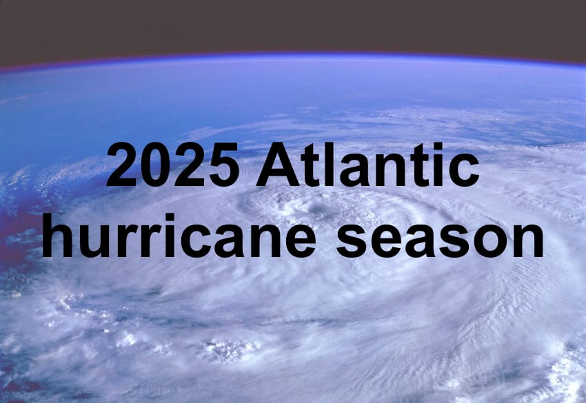
We are five days away from the end of the 2024 Atlantic Hurricane Season. Since the season is about to end, I thought I would post my predictions for 2025 here.

Based off of trends over the last year or two (and my gut feeling), here are my predictions for landfall risk around the basin in 2025
12-20 NAMED STORMS (MY FORECAST MADE ON NOV 25TH, 2024)
5-12 HURRICANES (MY FORECAST MADE ON NOV 25TH, 2024)
2-7 MAJOR HURRICANES (MY FORECAST MADE ON NOV 25TH, 2024)
115-175 ACE (MY FORECAST MADE ON NOV 25TH, 2024)
I expect at least one possible Irma-like track in 2025 based on recent track trends near the end of 2024's season.
In terms of storms, I think 2025 will have a slow start with at least one named storm forming in June.
Andrea
Barry
Chantal
Dexter
Erin
Fernand
Gabrielle
Humbarto
Imelda
Jerry
Karen
Lorenzo
Melissa
Nestor
Olga
Pablo
Rebekah
Sebastien
Tanya
Van
Wendy
Barry
Chantal
Dexter
Erin
Fernand
Gabrielle
Humbarto
Imelda
Jerry
Karen
Lorenzo
Melissa
Nestor
Olga
Pablo
Rebekah
Sebastien
Tanya
Van
Wendy
Last edited: