
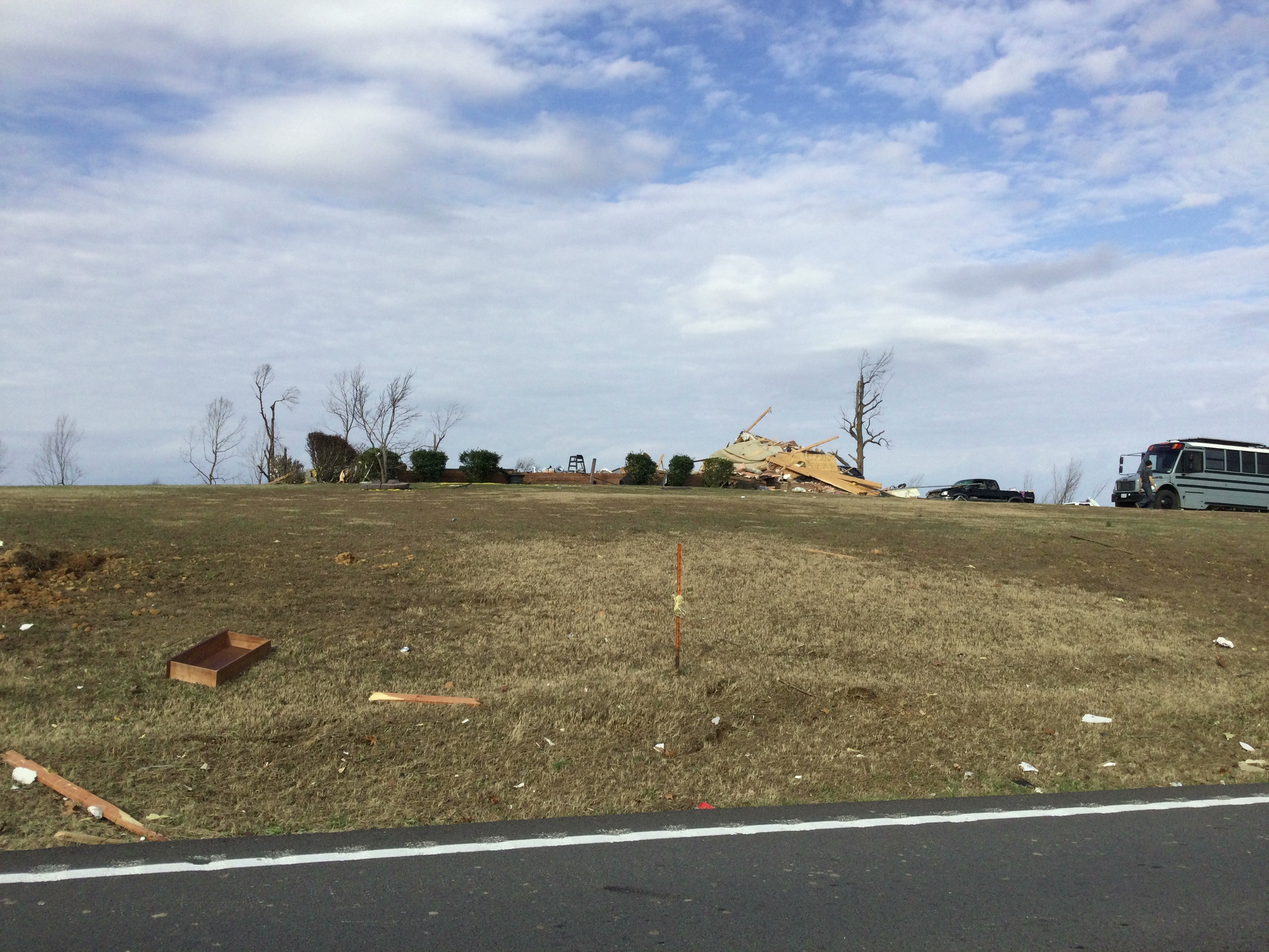
Yeah I noticed the same. Looks like the sod hasn’t event been layed down for the lawn. Whatever the case, it looks like the garage portion of the house was thoroughly bolted down. Can’t say the same about the rest though.What's the wind speed of it? Also that house looks like it might have been under-construction or very new.
Navigation
Install the app
How to install the app on iOS
Follow along with the video below to see how to install our site as a web app on your home screen.
Note: This feature may not be available in some browsers.
More options
-
Welcome to TalkWeather! We see you lurking around TalkWeather! Take the extra step and join us today to view attachments, see less ads and maybe even join the discussion. CLICK TO JOIN TALKWEATHER
You are using an out of date browser. It may not display this or other websites correctly.
You should upgrade or use an alternative browser.
You should upgrade or use an alternative browser.
Severe WX December 10 & 11, 2021 Severe Threat
- Thread starter Richardjacks
- Start date
MNTornadoGuy
Member
Something I noticed around some of the masonry buildings in downtown Mayfield is that the vegetation damage isn't as extreme as in SW Mayfield.
I feel like it's going to be difficult to produce the same level of destruction to vegetation in a less open area like that.Something I noticed around some of the masonry buildings in downtown Mayfield is that the vegetation damage isn't as extreme as in SW Mayfield.
MNTornadoGuy
Member
Also looks like that house in Carbondale was surveyed. Looks like the slab was the result of cleanup and considering all the shrubbery around the home is fine, it probably was not a well-built home.
Casuarina Head
Member
This is somewhat unrelated, but:
Yeah that’s a fair assessment I’d say. Presbyterian church seems too have gotten it the worst. I wonder if the level of destruction at the Methodist church was more due to the tall, wide, and flat profile of the sanctuary exterior catching the wind.I'm not sure I'd infer that given the First Christian Church and First Presbyterian Church suffered more complete damage and were in the core.
New EF4 DI in Cambridge Shores. I know, I know, it's the dreaded subflooring, but the photo shows closely spaced proper anchor bolts and sill plating all around the foundation .

Worth noting this is well away from the core of the damage path as well, the tree damage in particular is considerably less intense around that house.
MNTornadoGuy
Member
It probably was under construction and weaker than all the other buildings.View attachment 11180
Worth noting this is well away from the core of the damage path as well, the tree damage in particular is considerably less intense around that house.
TH2002
Member
- Messages
- 4,974
- Reaction score
- 11,116
- Location
- California, United States
- Special Affiliations
- SKYWARN® Volunteer
How do you enable the satellite imagery on the DAT? Does that feature require an account?
Go to the add data tab on that, search "gray sky", filter by Date. It should be "gray sky nadir 2021" by Jonathan.How do you enable the satellite imagery on the DAT? Does that feature require an account?
MNTornadoGuy
Member
A bit annoying on how there is no aerial imagery for Bremen.

TH2002
Member
- Messages
- 4,974
- Reaction score
- 11,116
- Location
- California, United States
- Special Affiliations
- SKYWARN® Volunteer
Thanks! NWS Paducah finally sent me a link to some ARCGIS imagery yesterday, but in my experience the site was extremely slow and the aerial imagery too low resolution to make out anything really useful. Maybe someone else will have better luck with it though:Go to the add data tab on that, search "gray sky", filter by Date. It should be "gray sky nadir 2021" by Jonathan.
https://maps.disasters.nasa.gov/arc....html?layers=86d02604590242469b6c9e4866ba5247
MNTornadoGuy
Member
Still EF3. That gas station that was supposedly slabbed was already an empty foundation before the tornado.At work right now so I can’t look, but can anyone tell me what the damage in and around Cayce, KY was rated? I’m still unclear on that.
Ooooh ok. There was definitely more that one empty foundation in that area though, along with intense scouring. Haven’t gotten a close look at the construction in that area, but EF3 seems questionable to say the least.Still EF3. That gas station that was supposedly slabbed was already an empty foundation before the tornado.
MNTornadoGuy
Member
On the private DAT that Memphis accidentally leaked there was a single EF4 DI in the area.Ooooh ok. There was definitely more that one empty foundation in that area though, along with intense scouring. Haven’t gotten a close look at the construction in that area, but EF3 seems questionable to say the least.
Ah so that’s MEG’s segment of the path. That explains a lot.On the private DAT that Memphis accidentally leaked there was a single EF4 DI in the area.
Edit: Nvm, I misunderstood. Cayce is still within the NWS Paducah CWA.
MNTornadoGuy
Member
No it was in NWS Paduach's section.Ah so that’s MEG’s segment of the path. That explains a lot.
Yeah my bad I just realized after looking it up.No it was in NWS Paduach's section.
MNTornadoGuy
Member
I'm guessing either the fire station, this (store?), this farm NW of Cayce, or these homes in SW Cayce are the EF4 DI.


Last edited: