• Welcome to TalkWeather!
    We see you lurking around TalkWeather! Take the extra step and join us today to view attachments, see less ads and maybe even join the discussion.
    CLICK TO JOIN TALKWEATHER

Significant Tornado Events - Global Edition

Definitely deserves the rating too. I saw pics showing a few houses with total loss of their roofs.

Also I just remembered the Irish tornado I was thinking of. It was the 2023 Leitrim IF2.
Yeah, remember that well off the cusp of the Dec 9th outbreak the day before. News called it a "mini-tornado" which is just too cliche for the UK/Ireland. I was pretty shocked it occurred but given extreme low level shear and just enough instability barely, things were able to compensate and drop a strong tornado.
 
Yeah, remember that well off the cusp of the Dec 9th outbreak the day before. News called it a "mini-tornado" which is just too cliche for the UK/Ireland. I was pretty shocked it occurred but given extreme low level shear and just enough instability barely, things were able to compensate and drop a strong tornado.
I remember the St. Clements, England IF3 around that same time got the “mini tornado” treatment as well. Completely ridiculous, considering it was one of the strongest tornadoes ever documented in England. That thing destroyed masonry buildings and lofted vehicles. Nothing “mini” about either of them.
 
I remember the St. Clements, England IF3 tornado around that same time got the “mini tornado” treatment as well. Completely ridiculous, considering it was one of the strongest tornadoes ever documented in England. That thing destroyed masonry buildings and lofted vehicles. Nothing “mini” about either of them.
Yeah, that's the only time I've ever seen a outer band tornado risk verify around here with windstorms like the ones we get. Usually, it's mostly minimal instability with extreme low level shear, and they never do much. I think Cieran had some better instability inbetween and the supercell very rapidly organised. The radar presentation was the most classic I've seen around this general region of Ireland/UK. Also noteworthy it's like the only significant nocturnal tornado I've heard of too for this area
 

Attachments

  • wea4530-fig-0002-m.jpg
    wea4530-fig-0002-m.jpg
    306.4 KB · Views: 0
On August 16, 2010, a large tornado touched down near Mezőkövesd, Hungary. It passed about 1/3 of a mile east of the town, narrowly avoiding a potential major disaster. The ESWD does not have a path length or F rating listed, but it appears to have been on the ground for about three and a half miles. Along its path it damaged one outbuilding, blew down street signs and flattened a sunflower field. It also snapped concrete power poles about halfway up and damaged trees, with some of the trees even having slight debarking. While the ESWD doesn't have a rating listed, some Hungarian sources list it as an F2, which I agree with.


mezőkövesdnél.png
DD2ktkpTURBXy9lMjcxODk1NTQyMmQyOGZlMmZhNDYxNjU4Zjc1NTcxMC5qcGeRlQLNAugAwsM

azm2ztn2aarlcx27.jpg

7a5qmgu9o6ji1jgw.jpg

6sv6gbt67l6qcebw.jpg

u237kfxnzihr36k3.jpg

foto14.jpg


Wouldn't be surprised if there was a tornado under this wall cloud in this video from Palmera Boca, Misiones, Argentina.
 
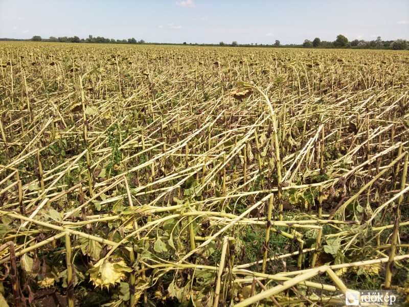
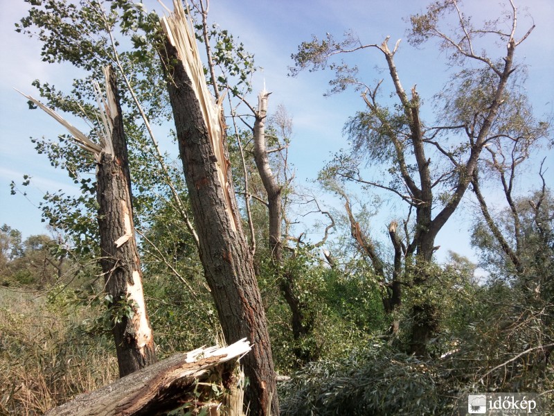
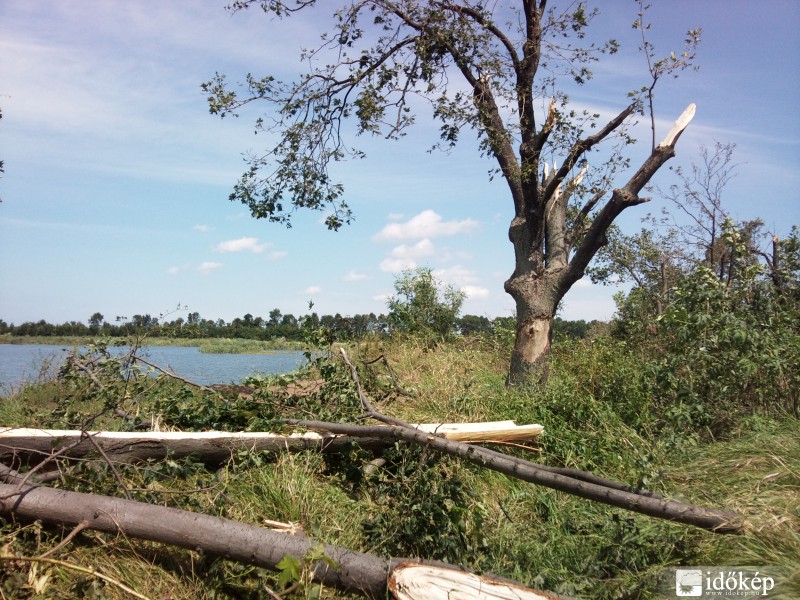
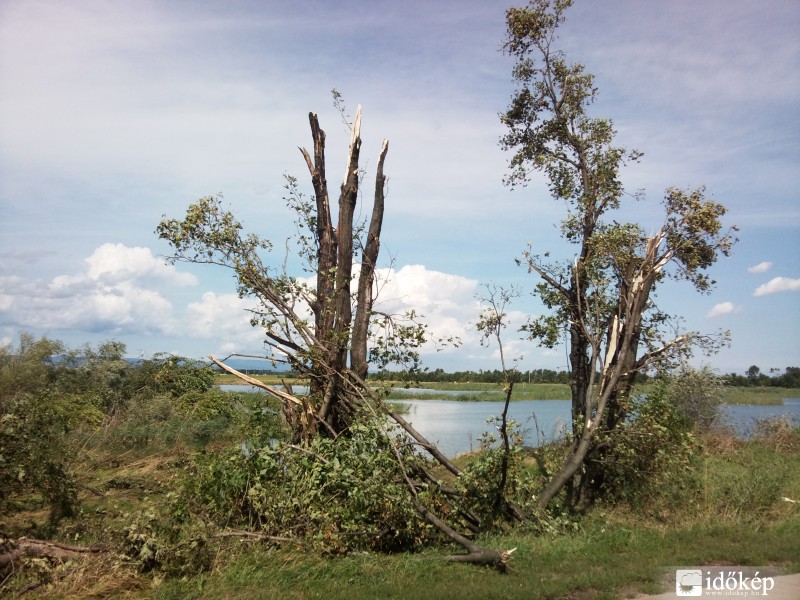
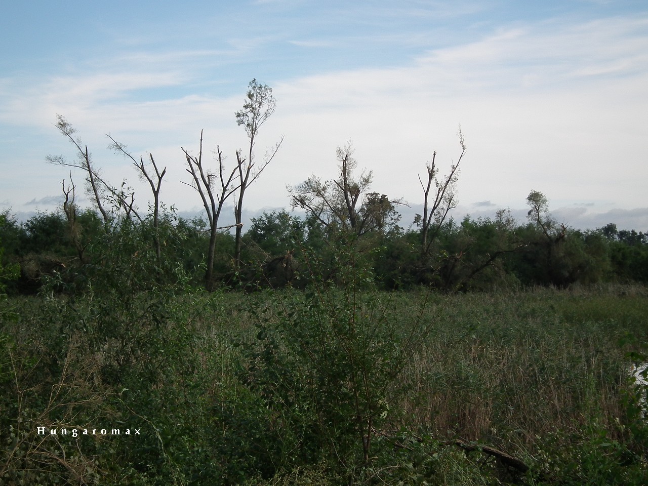
Well, aside from today in the US, portions of southern Brazil/Paraguay experienced (and still are) a very dangerous severe weather setup. This sounding from the GDPS is the best depiction i could get of the environment kinematically and safe to say this is absolutely not a setup you see often. Due to being in the southern hemisphere, hodographs will be typically opposite. Composite parameters are wonked off due to this feature however this is just very impressive.

Nearly 500 0-1km SRH combined with very impressive spring thermodynamics. Violent tornadoes would be easily capable of dropping with any favorable mesoscale interaction, and combined with a discrete storm mode. This is just wow
Cross-posting this to here because that is an extremely impressive low level wind profile for South America.
 
A severe weather outbreak is currently unfolding across parts of Brazil, with multiple reports of possible tornadoes associated with intense convective storms.
In the past hour, a potentially significant tornado has struck the city of Rio Bonito do Iguaçu, Paraná, causing damage that is still being assessed.


Seems like some buildings have been potentially completely leveled after further look at the video. Curious to hear what @buckeye05 thinks about this. Likely intense-violent.... When was the last time we had a tornado like this in South America?
 
Preliminary information suggests around 60% of Rio Bonito do Iguaçu was damaged or destroyed, including a supermarket that collapsed with people inside. Very bad situation down there.
 
Another tornado has been filmed tonight in the state of Paraná, Brazil, along a local road.


Has any actual tornado footage from Rio Bonito do Iguaçu surfaced yet? Wouldn't surprise me if there isn't any currently out there, since it seems to have been rainwrapped.

What about Xanxerê (which was incidentally hit by an F3 in 2015) and others?
 
Honestly, this setup is identical to the October 1993 outbreak in South America. Very strong kinematics, and thermodynamics and we had a similar situation take place today with several damaging tornadoes. Things are dying down right now if I had to guess, as instability wanes. What a day it's been..
 
Back
Top