Teche
Member
ah, lemme fix that
Follow along with the video below to see how to install our site as a web app on your home screen.
Note: This feature may not be available in some browsers.
 www.11alive.com

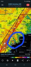
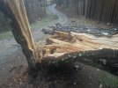
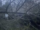
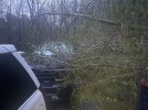
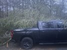
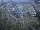
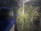
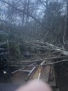
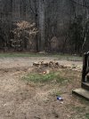
Tuscumbia tornado was about 1/4th of a mile from my parents house as it first touched down and lifted just before it got to my brothers house across town. He said the house shook and felt like all the windows were gonna blow out. His fence is down but no major damage. House across the street has a tree down on the garage out back.
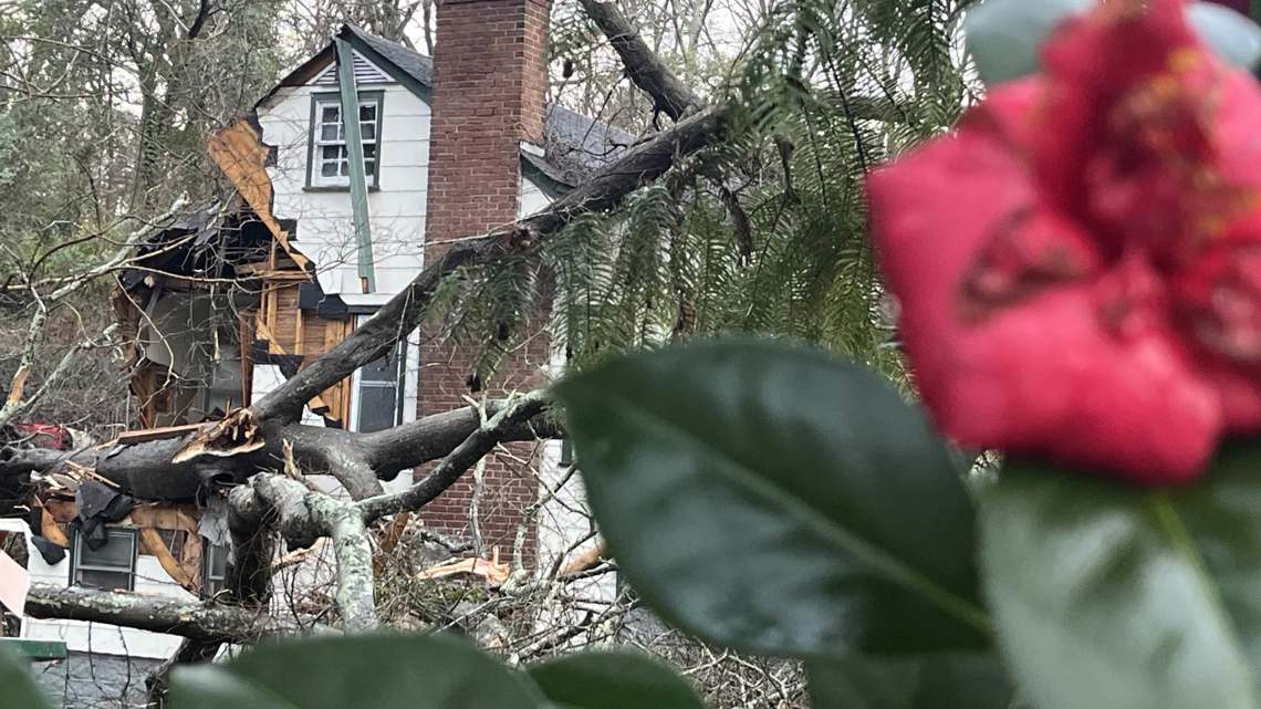
HUN surveyed 3 tornadoes today. An EF-1 in Marshall County, an EF-1 in Colbert County(the Tuscumbia storm) and an EF-2 in Franklin County.
Saw this Saturday night on the storm front a few times and wanted to ask what this is called so I could look it up. Appreciate your help.
In the exact same boat here. Not sure how intense the Santa Ana winds are down by Lake Forest but up here by the Cajon Pass we usually get the worst of it. In any case, glad to see more folks from our accursed part of the nationI'm doing good. Sadly we don't get much severe weather here besides hurricane force Santa Ana Winds and mudslides.
The path lengths in the survey just shows you how hard it is to warn for. Some of these were down and up between radar scans
HUN surveying 3 more spots today - Hatton, Muscle Shoals and Killen.