

Justin Hindman Hindy
Member
The cells that form could have some nasty winds and decent sized hail, however, the helictites are well into the Carolinas helping limit the tornado factor for central Alabama
Follow along with the video below to see how to install our site as a web app on your home screen.

Note: this_feature_currently_requires_accessing_site_using_safari


totally anecdotal, but i saw pink lightning with the storms this morning in Jefferson County, Alabama. the last time i saw pink lightning in a morning round of storms was April 27th, 2011.

Looks to have a TDS on it.
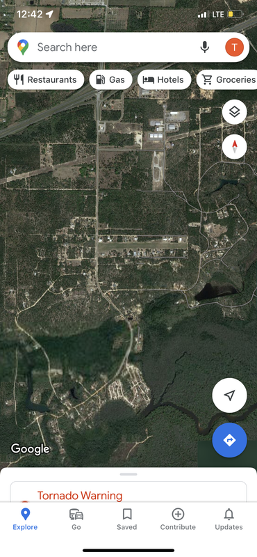


Couplet strengthened over a few scans as it got onshore. I think I see the TDS, little yellow speck on GRL3 but it's there.Looks like a TDS now near Pretty Bayou.
BULLETIN - EAS ACTIVATION REQUESTED
Tornado Warning
National Weather Service Tallahassee FL
623 PM CDT Fri Mar 18 2022
The National Weather Service in Tallahassee has issued a
* Tornado Warning for...
East central Bay County in the Panhandle of Florida...
* Until 700 PM CDT.
* At 623 PM CDT, a tornado producing storm was located over Panama
City, moving northeast at 30 mph.
HAZARD...Damaging tornado and quarter size hail.
SOURCE...Radar confirmed tornado.
IMPACT...Flying debris will be dangerous to those caught without
shelter. Mobile homes will be damaged or destroyed.
Damage to roofs, windows, and vehicles will occur. Tree
damage is likely.
* This tornadic thunderstorm will remain over mainly rural areas of
east central Bay County, including the following locations...
Bayhead, Brannonville, Dirego Park, Recota Beach, College Station,
Bayou George, Majette, Camp Flowers and Cedar Grove.
PRECAUTIONARY/PREPAREDNESS ACTIONS...
To repeat, a tornado is on the ground. TAKE COVER NOW! Move to a
basement or an interior room on the lowest floor of a sturdy
building. Avoid windows. If you are outdoors, in a mobile home, or in
a vehicle, move to the closest substantial shelter and protect
yourself from flying debris.
Heavy rainfall may hide this tornado. Do not wait to see or hear the
tornado. TAKE COVER NOW!
Torrential rainfall is occurring with this storm, and may lead to
flash flooding. Do not drive your vehicle through flooded roadways.
&&
LAT...LON 3019 8572 3036 8554 3024 8543 3016 8569
TIME...MOT...LOC 2323Z 240DEG 25KT 3020 8567
TORNADO...OBSERVED
MAX HAIL SIZE...1.00 IN