tennessee storm chaser
Member
- Messages
- 1,054
- Reaction score
- 1,271
- Location
- jackson tennessee
- Special Affiliations
- SKYWARN® Volunteer
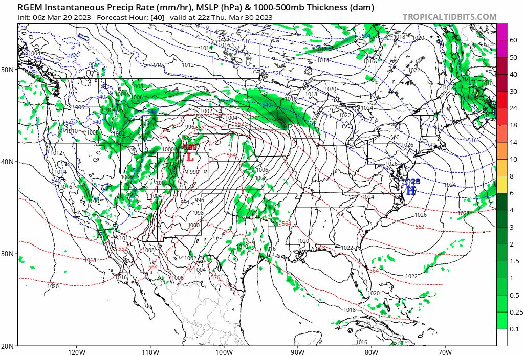
This one definitely has moderate all over it …. Things hold together we see our first high risk potential of the year 4/4 system . But little out thereBuddy the real question is if they whip out a High Risk. (No)