
F
Former Member 1430
Guest
Whatcha mean? Vbv?Those hodos look a little wonky
[/QUOTE]
Veer Back Veer
Follow along with the video below to see how to install our site as a web app on your home screen.

Note: this_feature_currently_requires_accessing_site_using_safari
Whatcha mean? Vbv?Those hodos look a little wonky
That path is RIGHT over my house.View attachment 19312
That track in central MS is not a UH track you want to see. Almost same exact path as tornado last week.
Keep in mind this is from the experimental C-Shield model.
Veer Back VeerWhatcha mean? Vbv?
I remember that. Fred agreed VBV wasn’t always a death sentence for tornados either, right?Oh, ehhh, with higher end shear or high shear that's easier to overcome. claycochaser linked a article a while back showing that and the study; doesn't do a whole lot with higher shear events. When you get into closer range some of the VBV is less evident as well.
Adam Lucio shared these images on his Facebook a few hours ago. I don't recognize the radar image on the right from this thread so I thought I'd share it in case it's anything interesting (assuming it's not old news/outdated already).
There are several papers showing that veer-back isn't a death sentence, and can even assist supercell maintenance.I remember that. Fred agreed VBV wasn’t always a death sentence for tornados either, right?


Yeah it's kinda worrying when the one model that is drastically conservative goes violent on you lol18Z 3KM NAM now has multiple bands of semi-discrete cells with strong UH tracks across IA/MO/western IL. Even a few completely discrete cells out in front of those. And if it's underdoing the surface temperatures by a few degrees as it tends to do...
I'm almost afraid of what the HRRR is gonna show.

Wouldn't doubt if that solution verified honestly, surprising that the cold bias ukmet says that along with the nam 3km.It's interesting how the RAP and UKMET seem to be the most bullish on moisture. 60s dewpoints all the way up to Northern IL, southern WI. Different from a lot of the other solutions right now
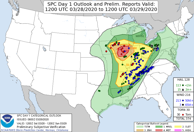
This is starting to give me March 28th, 2020 vibes. Jonesboro Arkansas got smoked that day.


To make sure I’m understanding correctly, you’re saying that Friday’s setup is actually more conducive than 3/28/20?While there are similarities to this setup, it is important to note that there are some key differences. First and foremost is that the upper level jet with the 3/28/2020 trough was much more meridional than this one, which favors more entrainment of the sub-tropical branch of the jet and tends to lead to more junk convection. More zonal flow in the upper levels is almost universally more favorable for significant severe weather events.